May 7, 2021 - Day Eight, Flight One, Part One
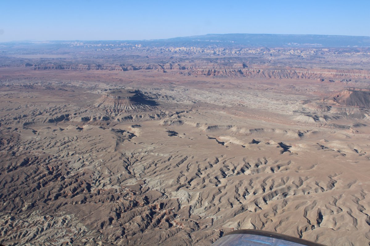
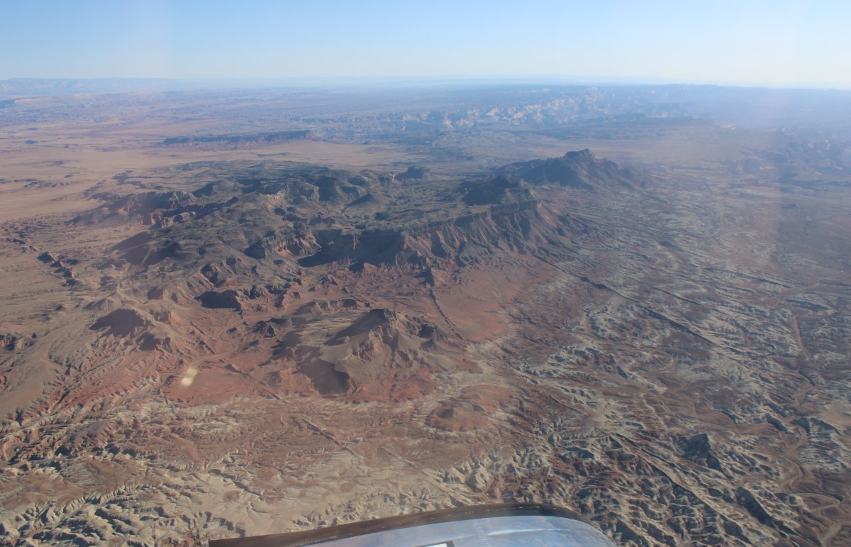
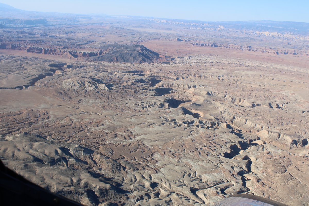
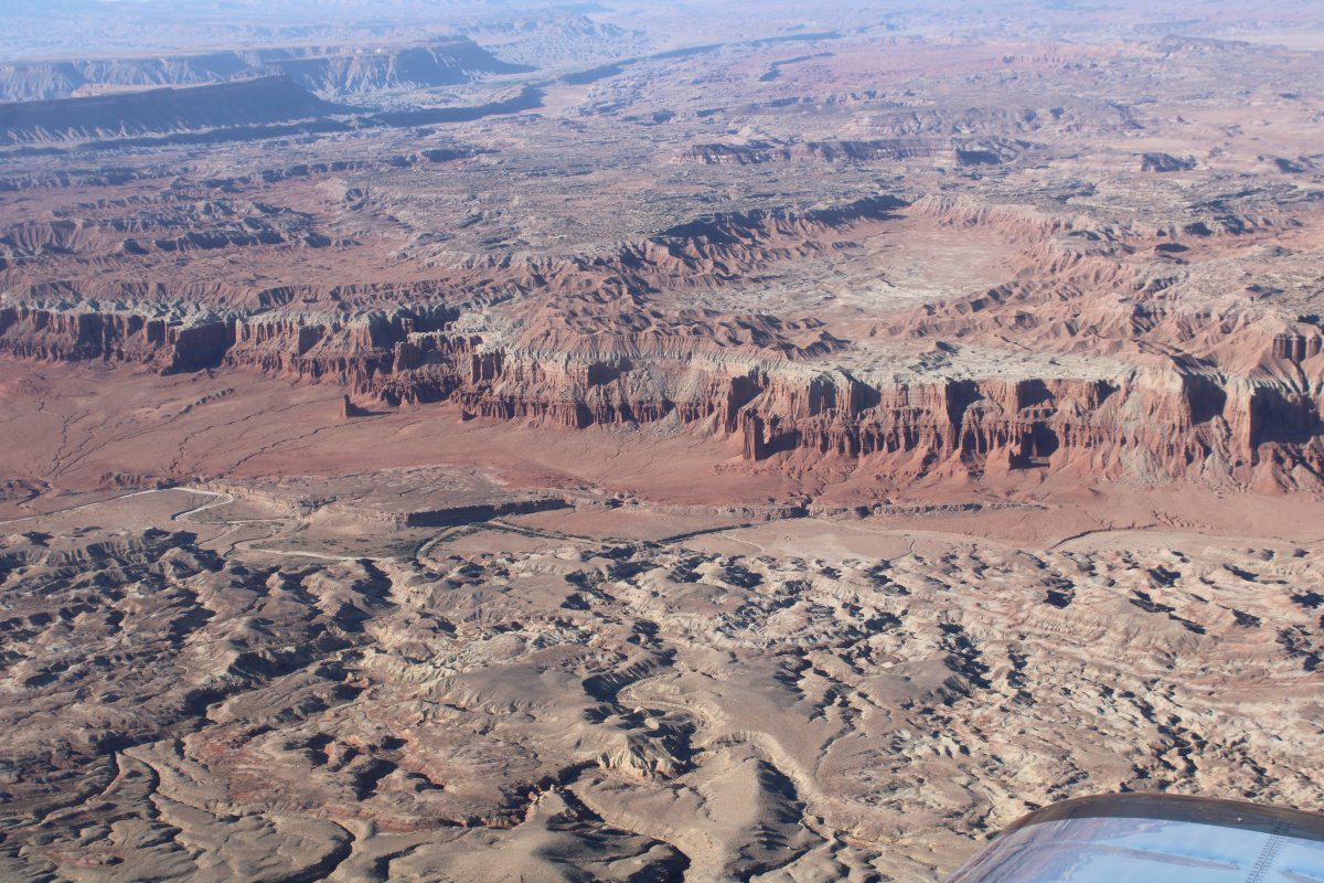
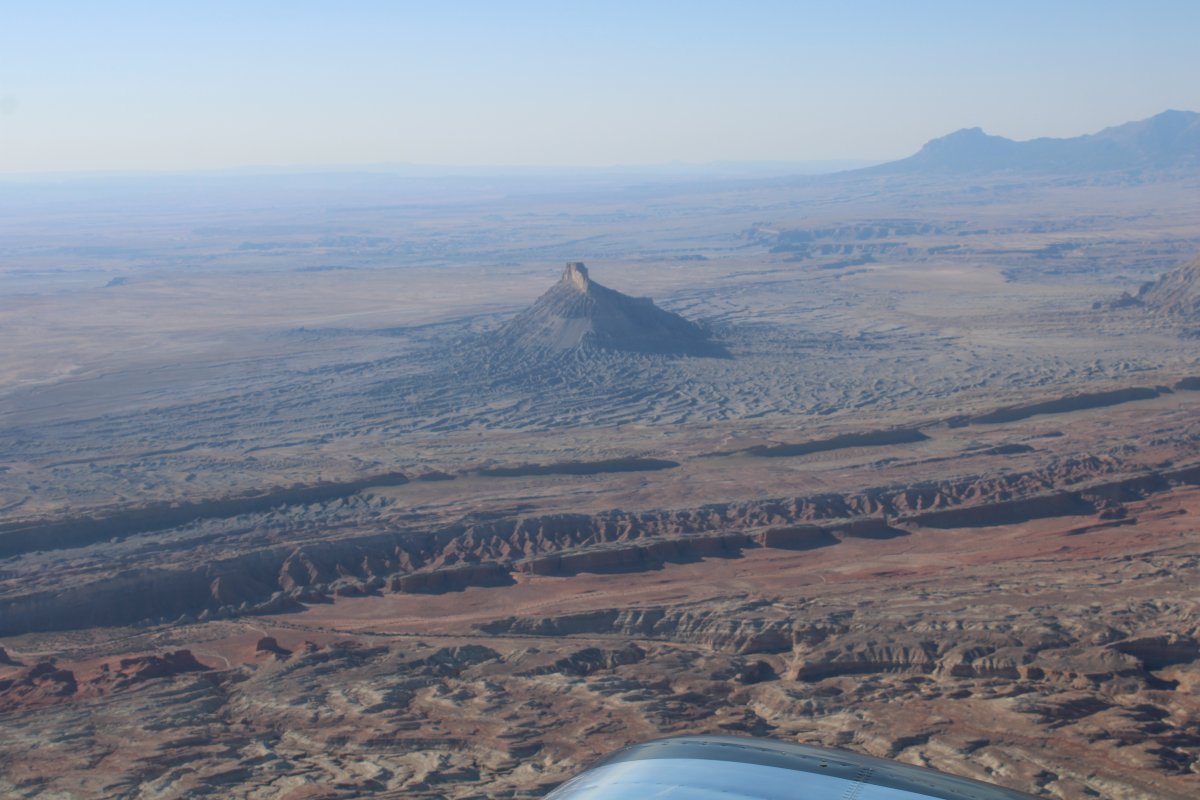
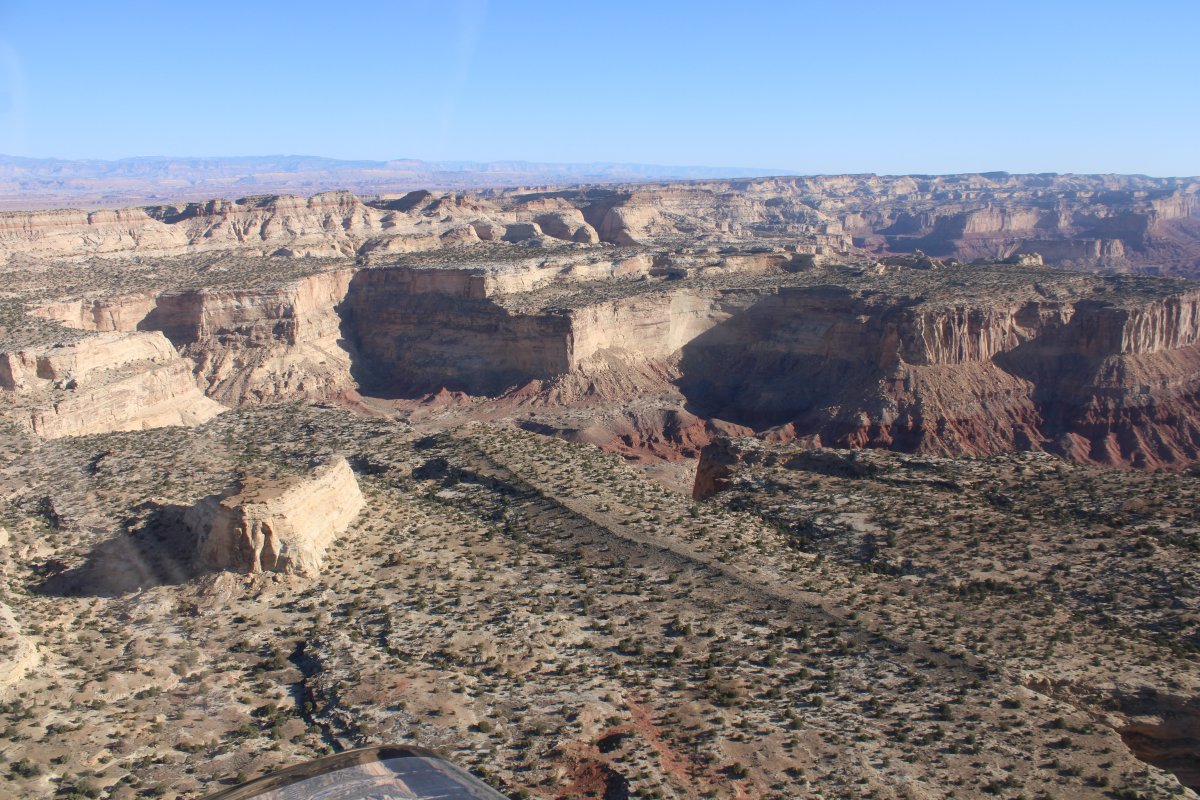
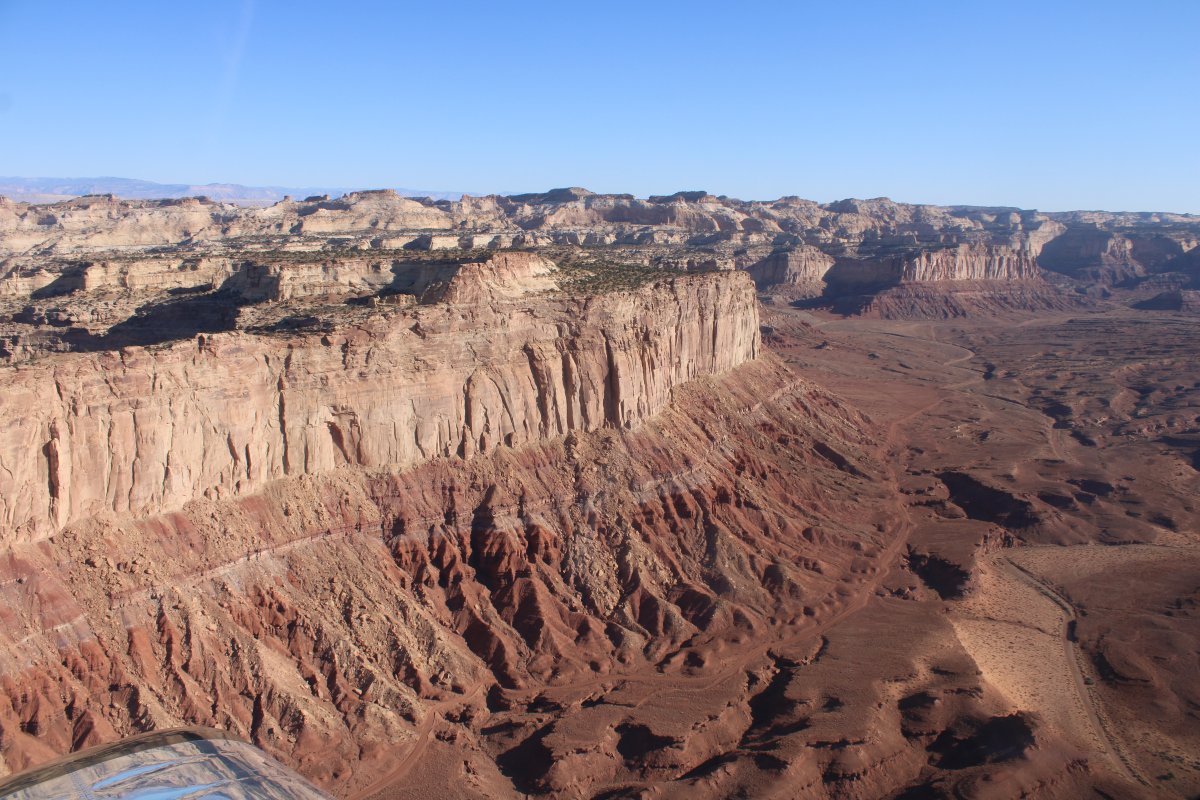
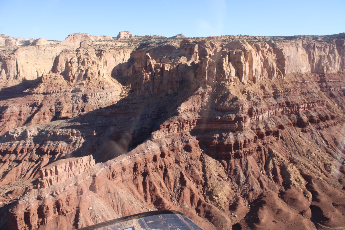
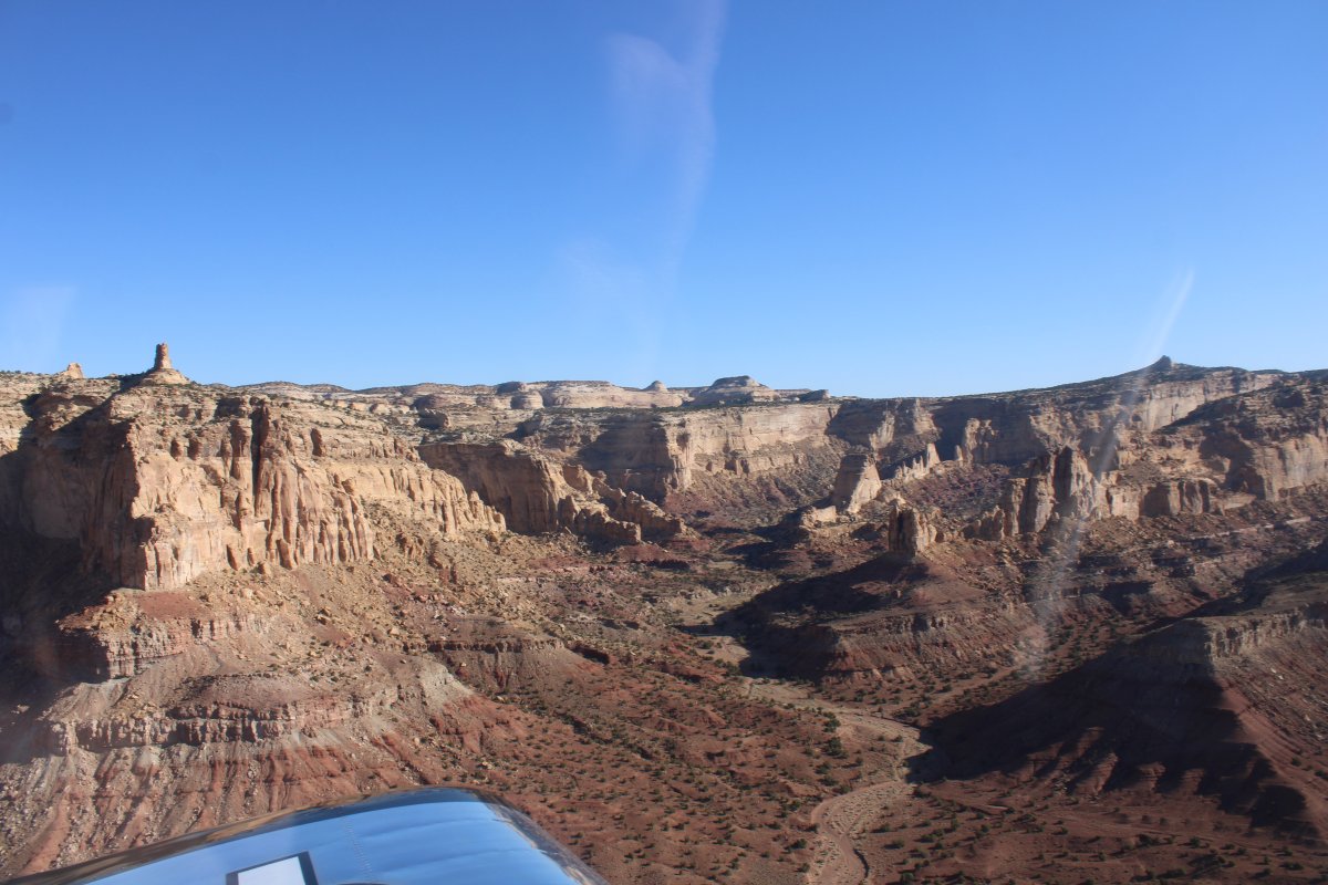
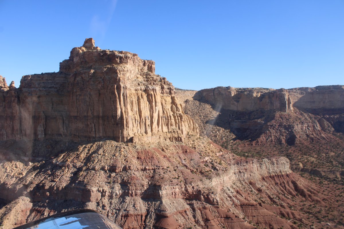
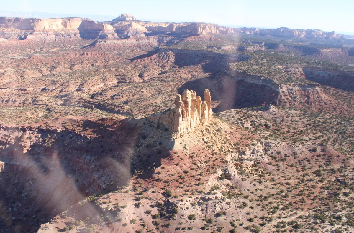
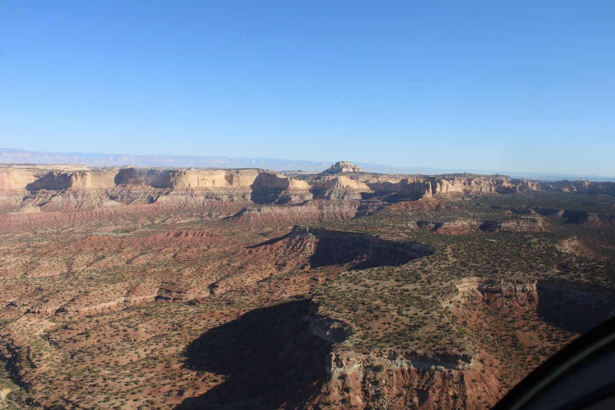
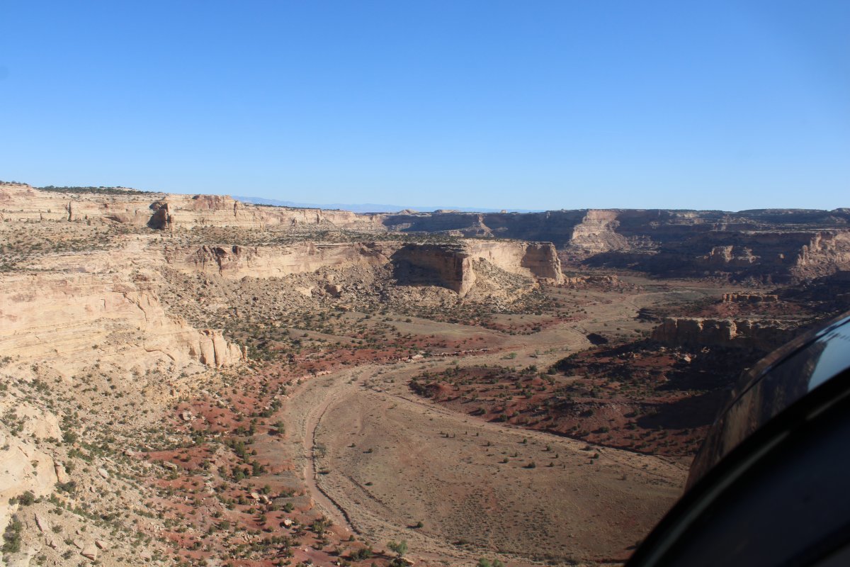
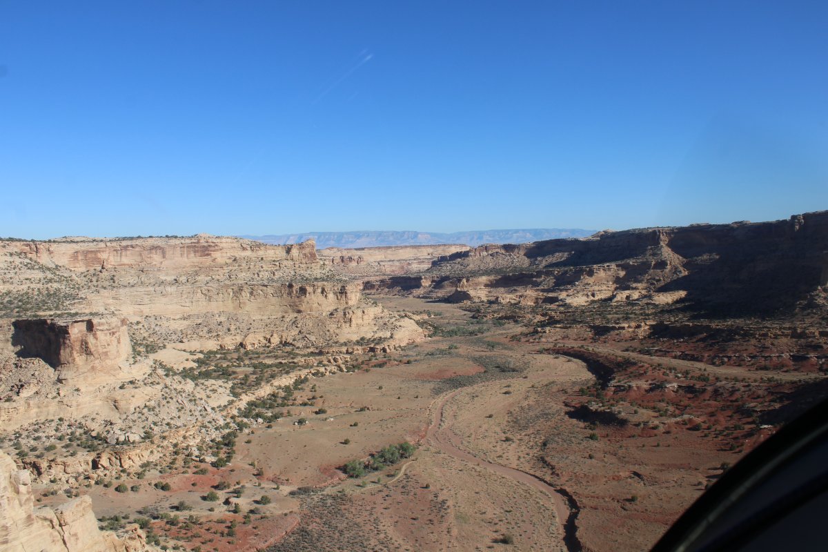
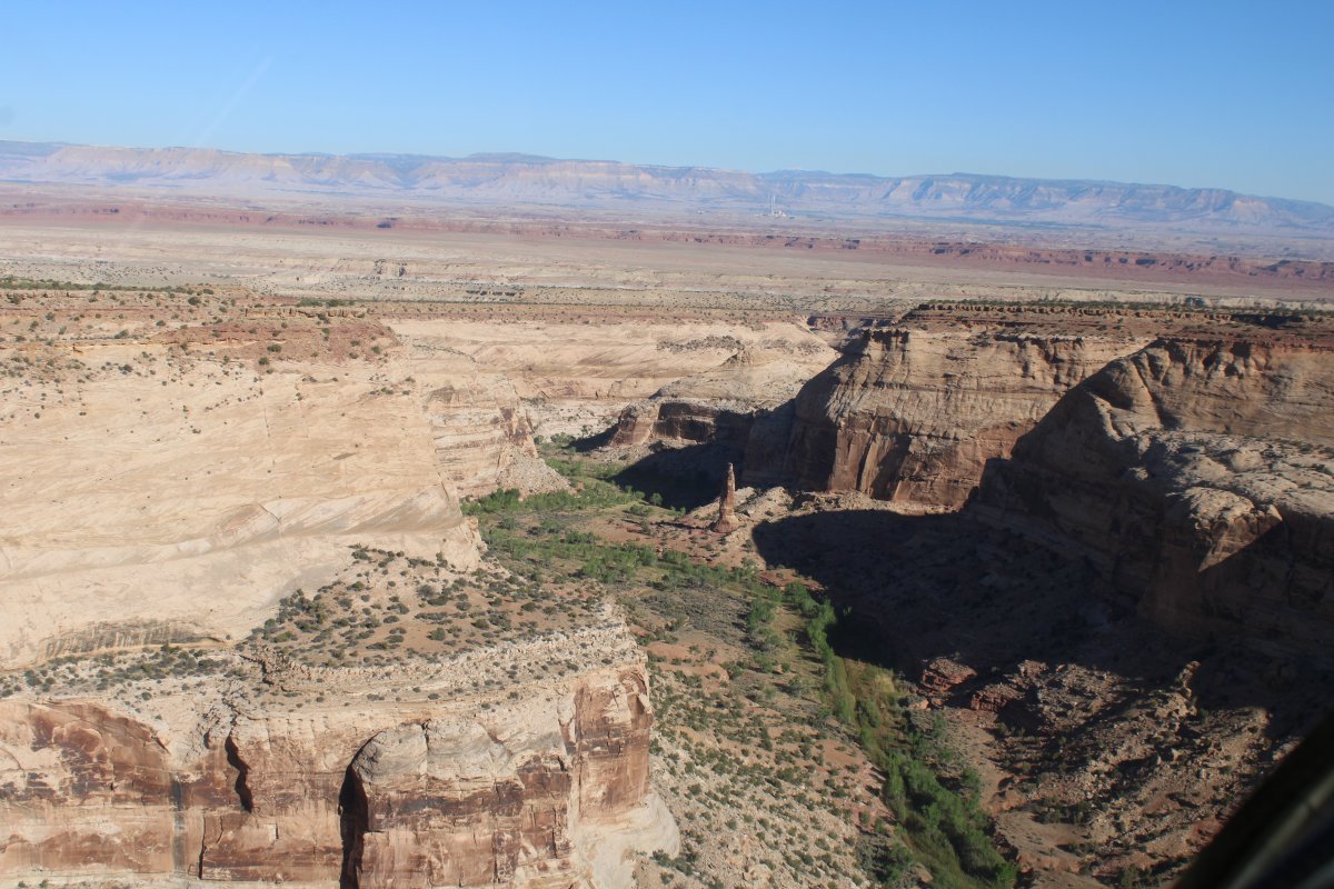
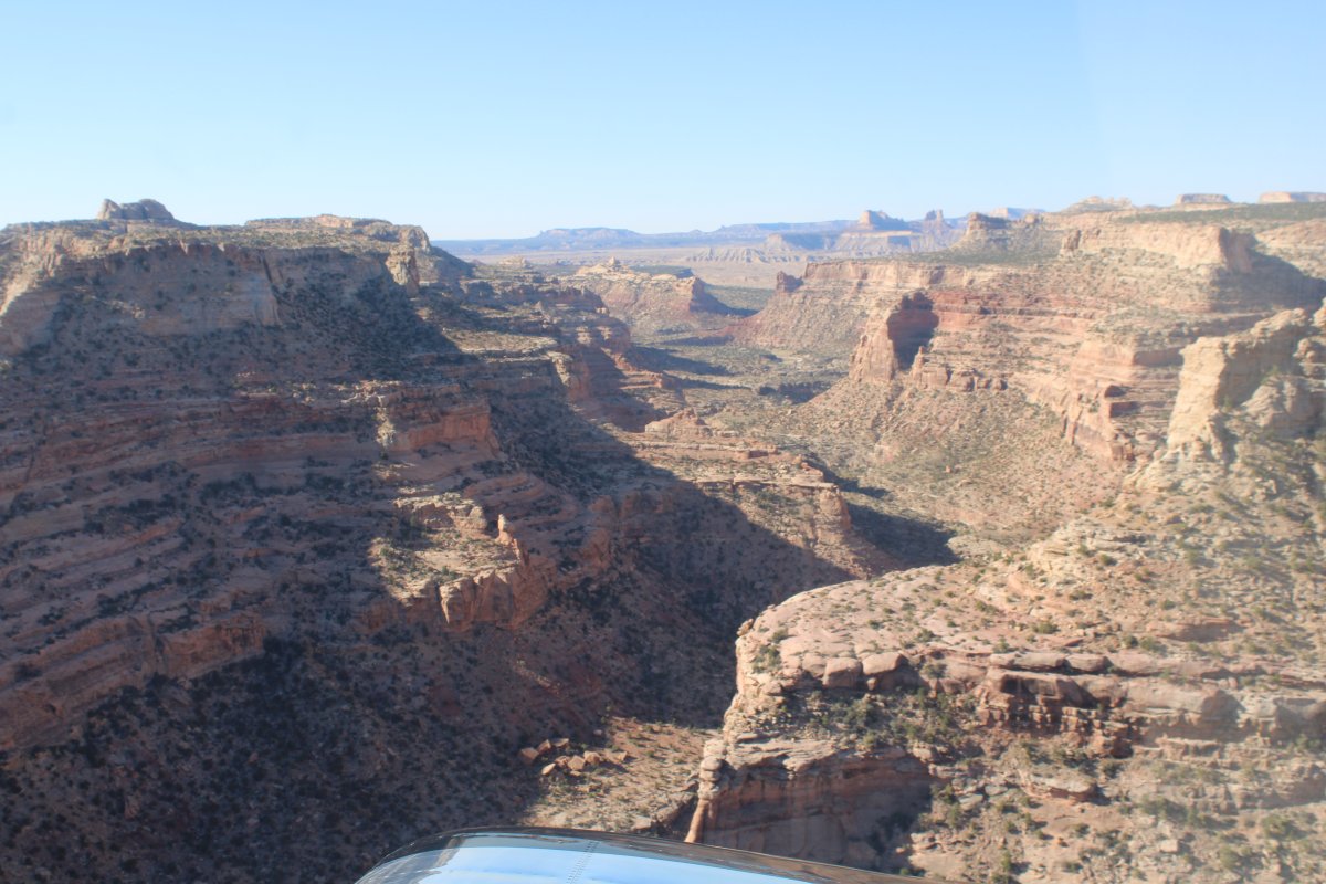
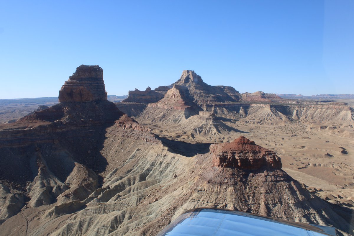
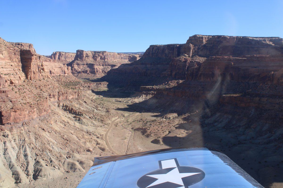
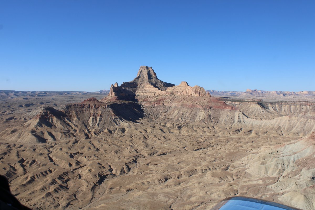
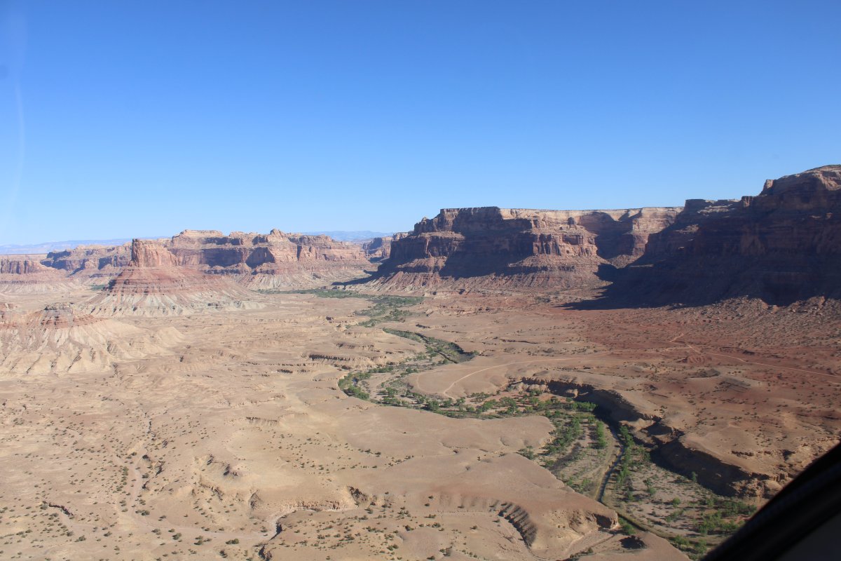
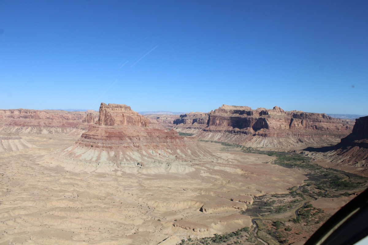
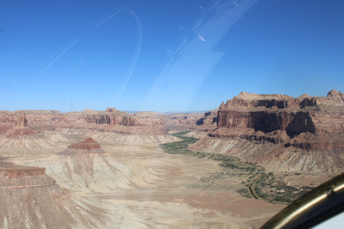
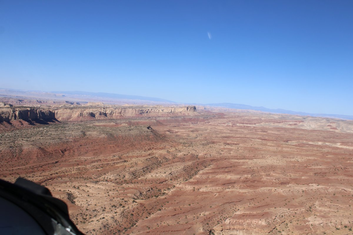
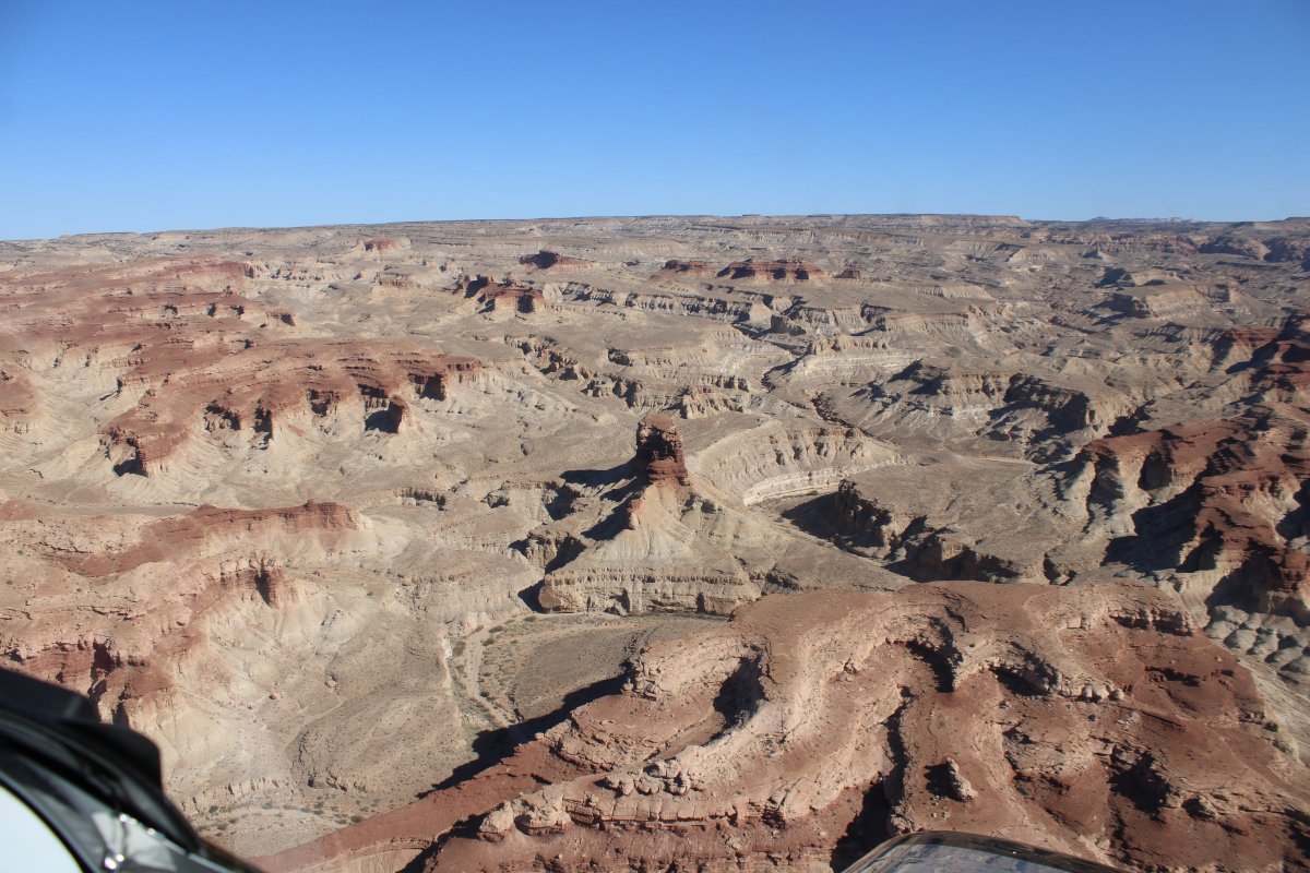
San Rafael Swell

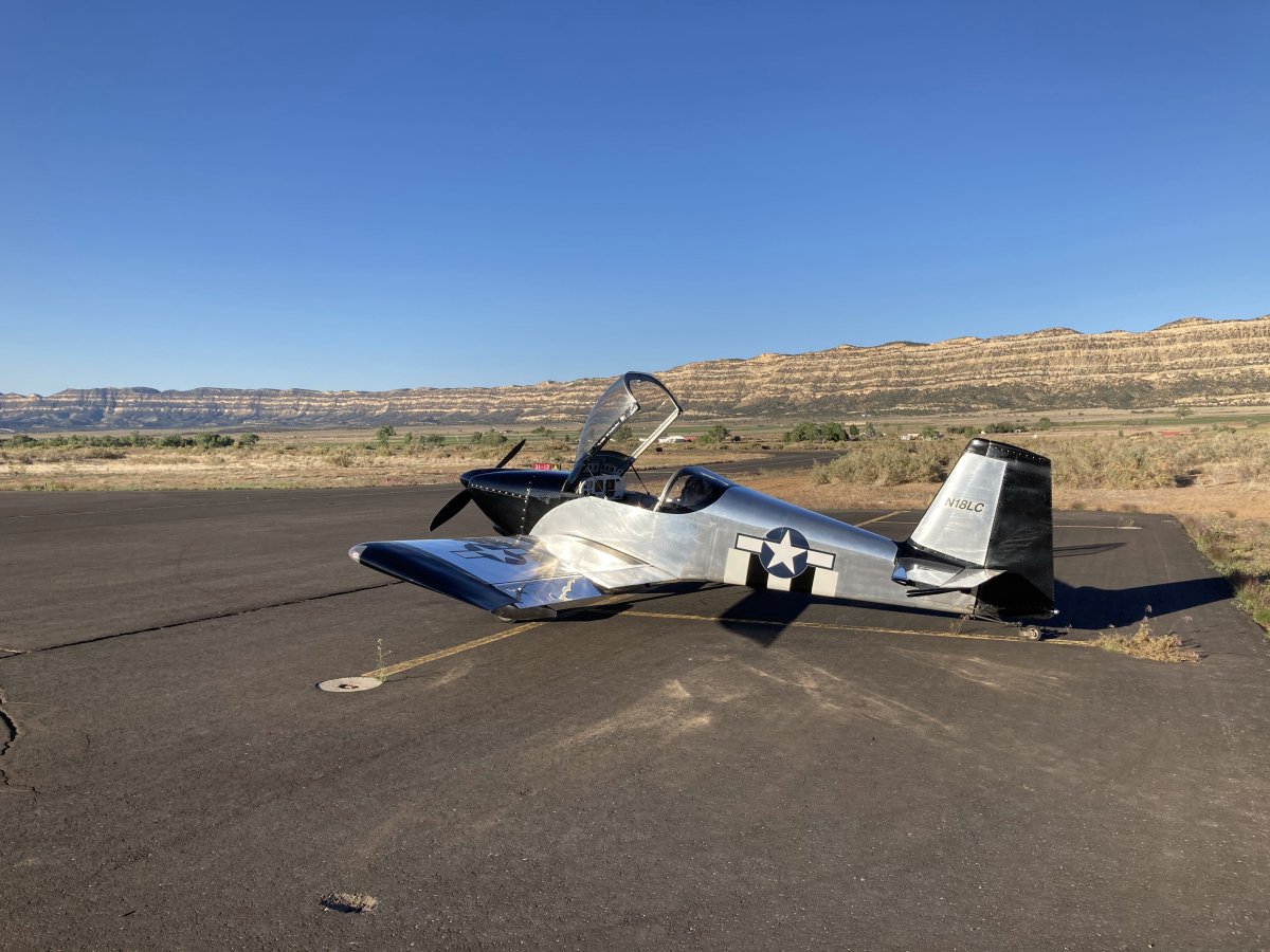
It was with sadness that I packed up the tent and loaded the plane.  I liked Escalante.  But it was time to move on.  The plan was to overnight in Wendover,  Utah/Nevada tonight.   But I would do some sightseeing along the way including one of my favorite places to fly:  the San Rafael Swell.

Below, the plane is loaded and ready to go early in the morning.

   
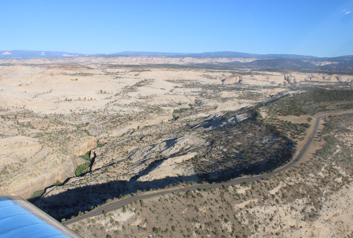
I followed Highway 12 southeast out of town until it came to the Hole in the Rock Road turnoff.   (Route 12 to the left and the Hole in the Rock Road to the right)  It's dirt all the way to Lake Powell.  Better be driving a 4x4 Jeep!  "There are a lot of amazing track routes and really spectacular canyons like: Peek a Boo, Spooky, Coyote Gulch, Zebra Slot and so on. You can spend on the Hole in the Rock Road a full day or more."    Have to do it someday!
   
Looking northwest back at Escalante.
   
Looking west at Barney Top in the distance.
   
Approaching Escalante from the south with the Box Death Hollow at upper center.  The Petrified Forest State Park is on the left by that lake.
   
A closer look at Barney Top.
   
The lake is actually called Wide Hollow Reservoir.
   
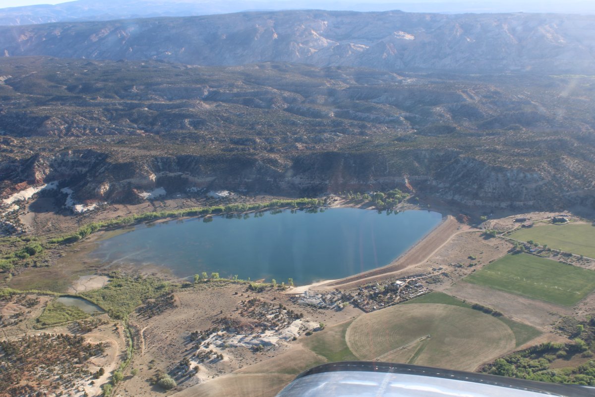
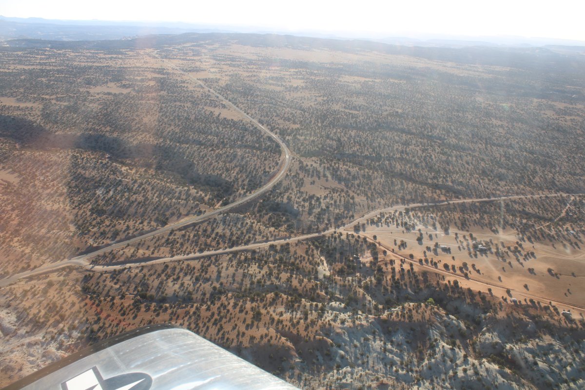
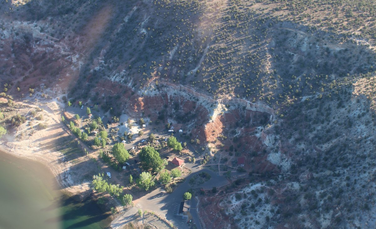
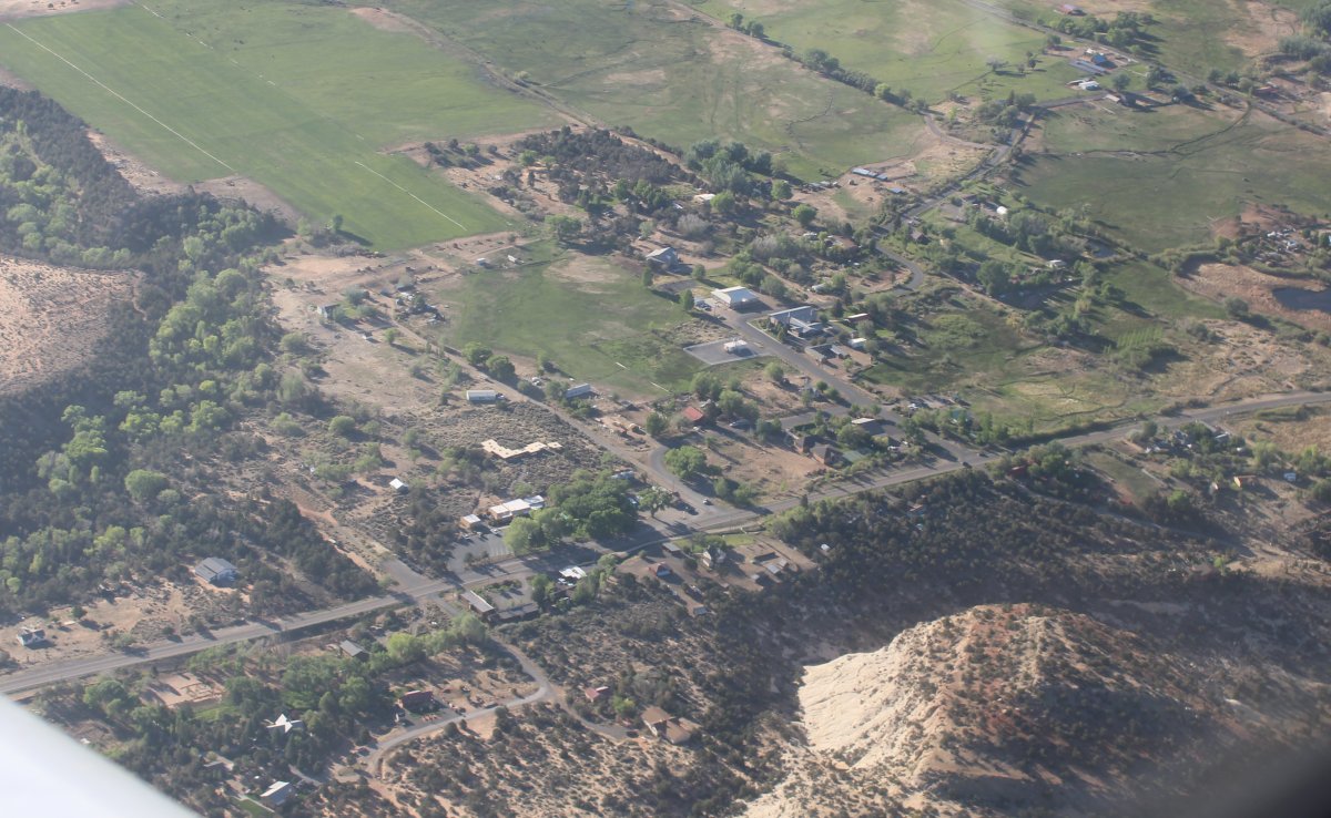
Looking down at the Petrified Forest State Park Ranger station and campgrounds.
   
One last look at Escalante then I get on Highway 12.
   
Highway 12 leads east from Escalante then turns north.
   
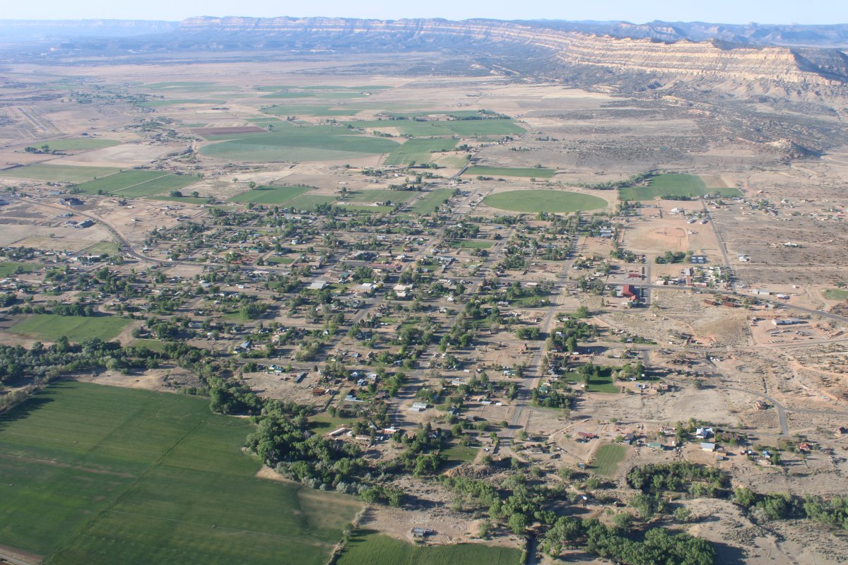
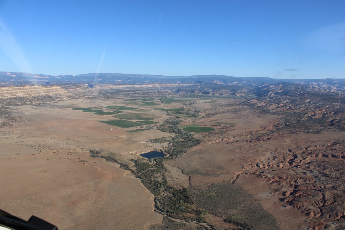
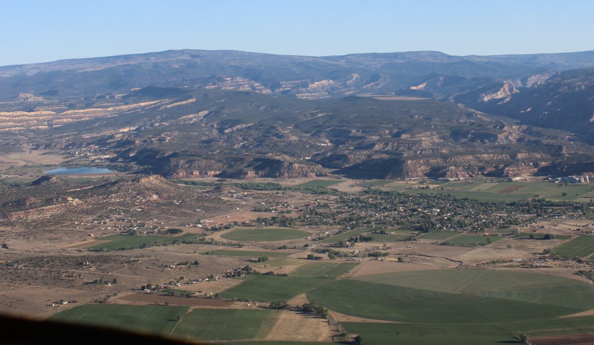
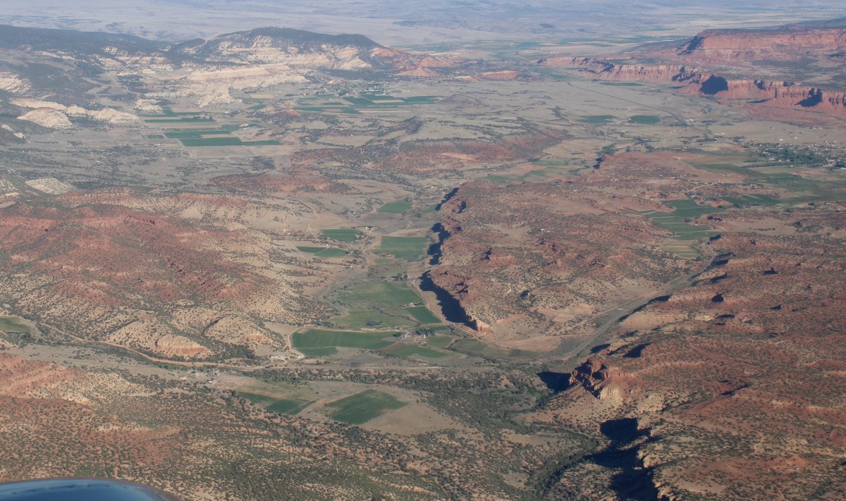
Passing over the very small town of Boulder.  I do remember stopping at this town when Lynnette and I drove through in 2018.
   
Looking back at Boulder.
   
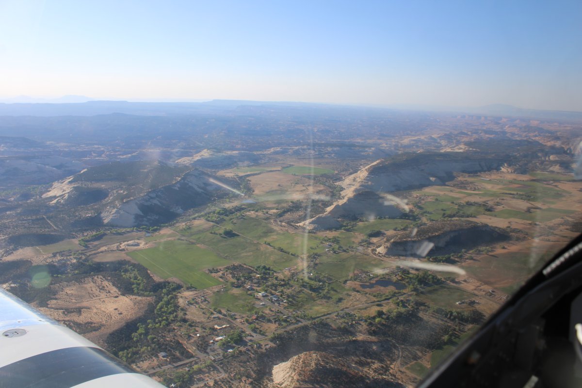
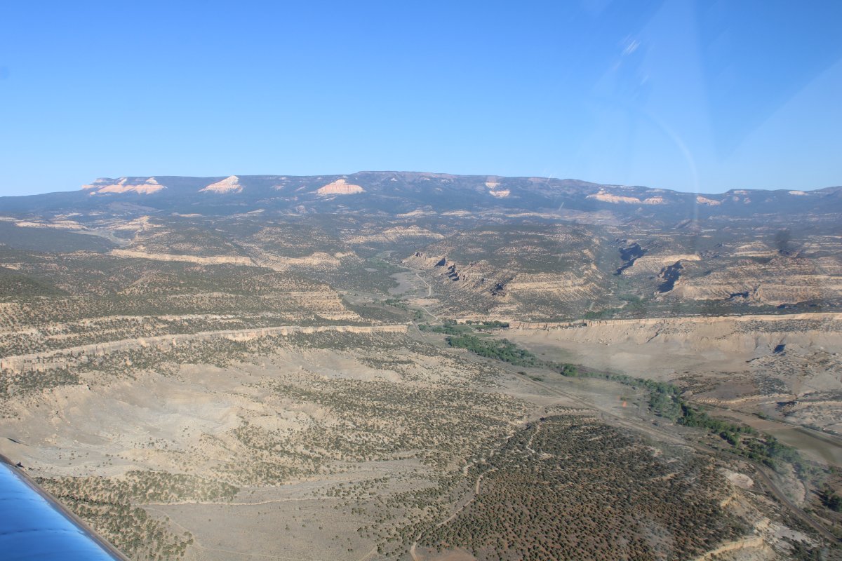
Highway 12 and myself skirt around the eastern end of Acquarius Plateau.  It's a high plateau:  11,000 feet!  It is the highest timbered plateau in North America. It is also called Boulder Mountain.
   
There is Highway 12 with Acquarius Plateau in the background.
   

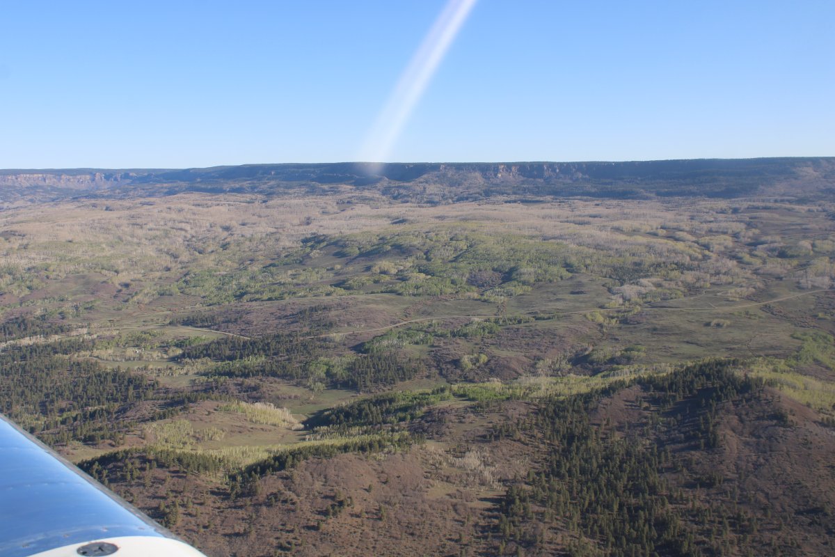
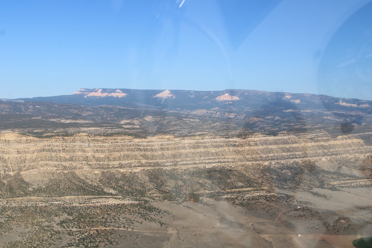
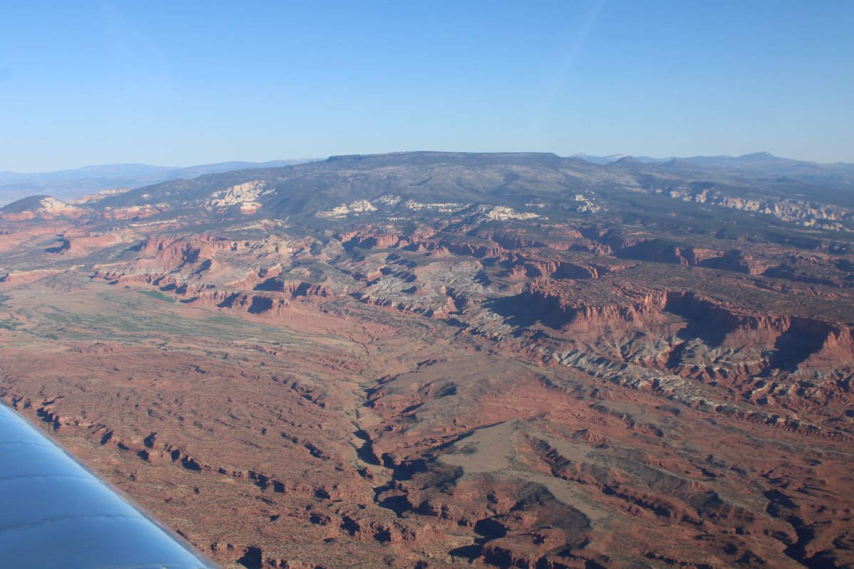
After having flown around looking at Acquarius Plateau from afar the last two days, I decided I had to see what was on top.  So I put the pedal to the metal and climbed up to 11,500 feet.

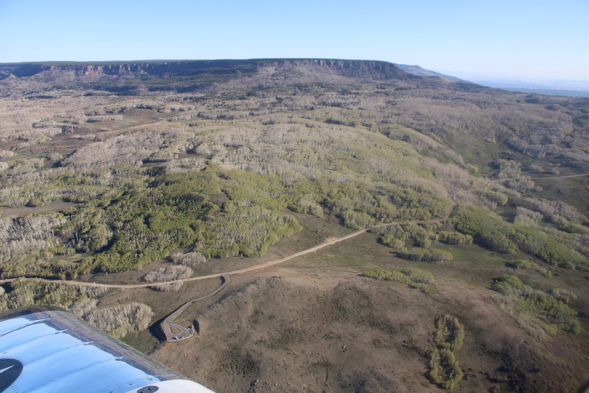
Here I'm looking at the top of the Acquarius Plateau.

   
Way high up, looking north at the valley between Acquarius Plateau and Thousand Lake Mountain.
   
Looking to the west.
   
Looking at Thousand Lake Mountain, also really a 11,000 foot plateau.
   
Passing by a nice canyon.   For some reason, I didn't take a picture to the east, which would have shown the northern part of Capital Reef National Park.
   
Continuing north, things started getting a little arid.
   
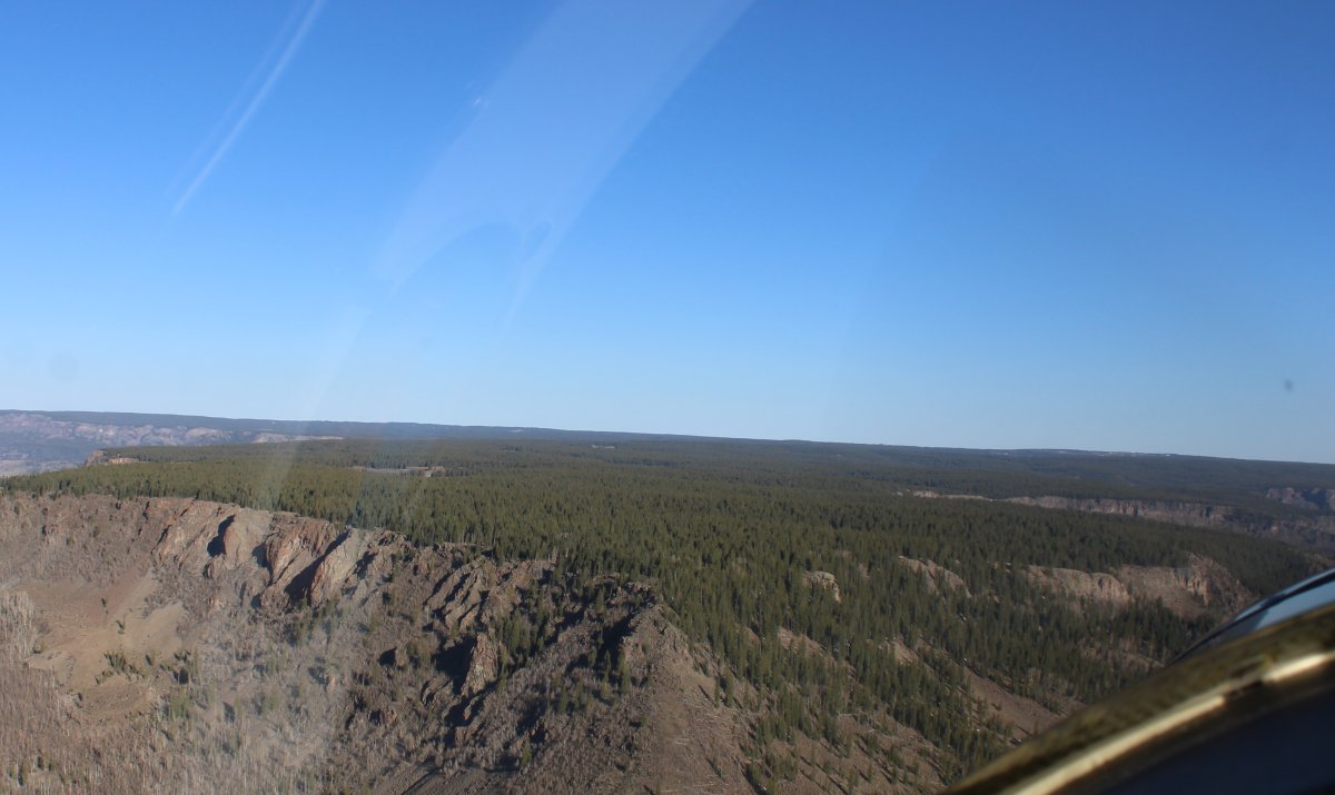
Now, looking to the east.
   
Looking west.
   
Looking east.
   
I'm now west of San Rafael Reef and southwest of an area called Castle Valley.  It's starting to look pretty interesting so I descend.
   
Looking east.
   
Descending into some incredible scenery.
   
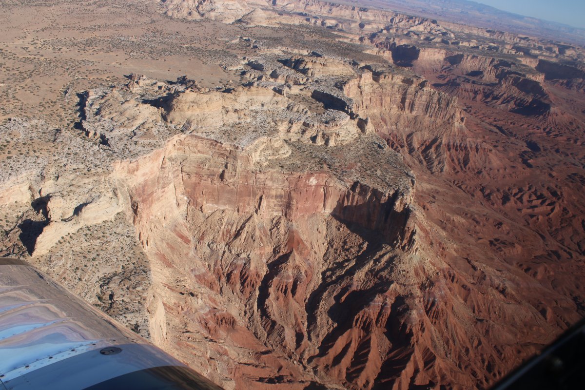
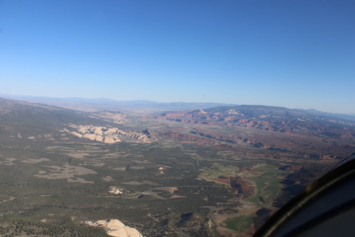
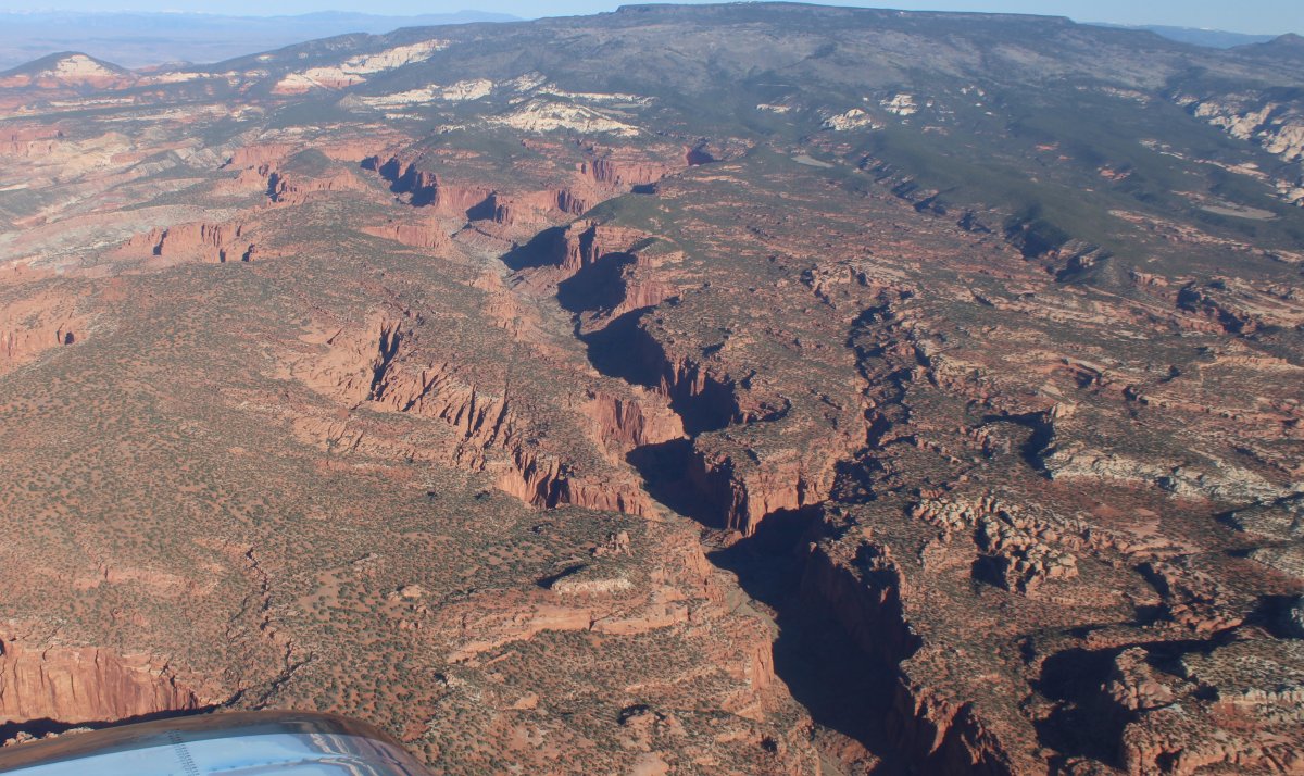
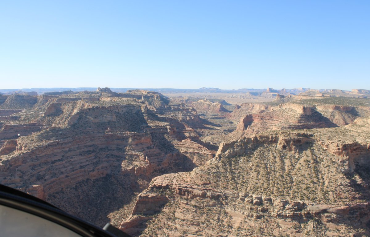
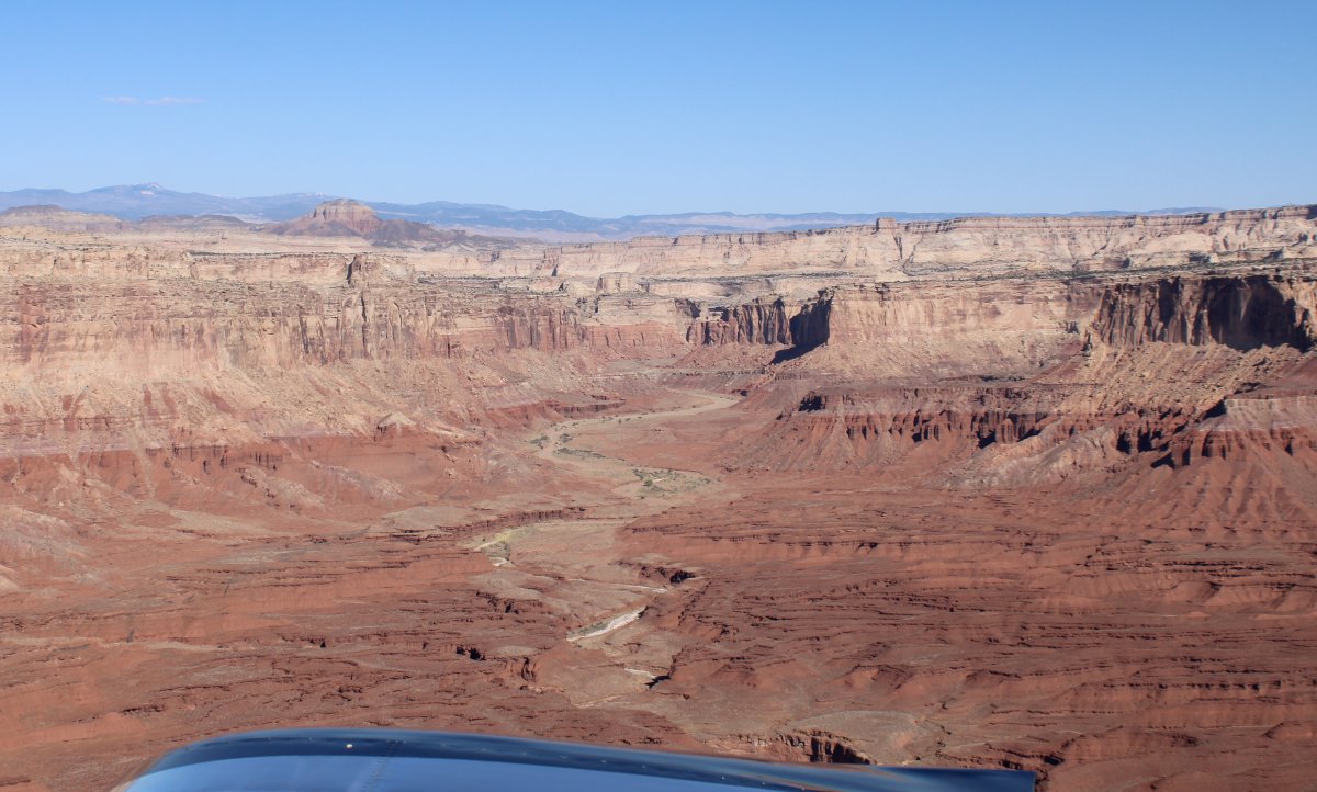
It may not be Castle Valley but it should be.
   
Nice.  The sun is really lighting the rock castles up.


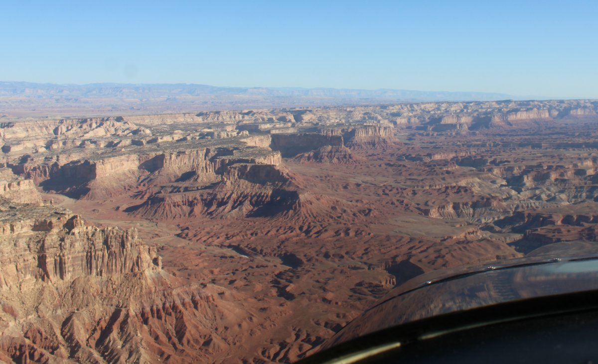
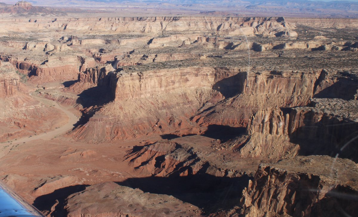
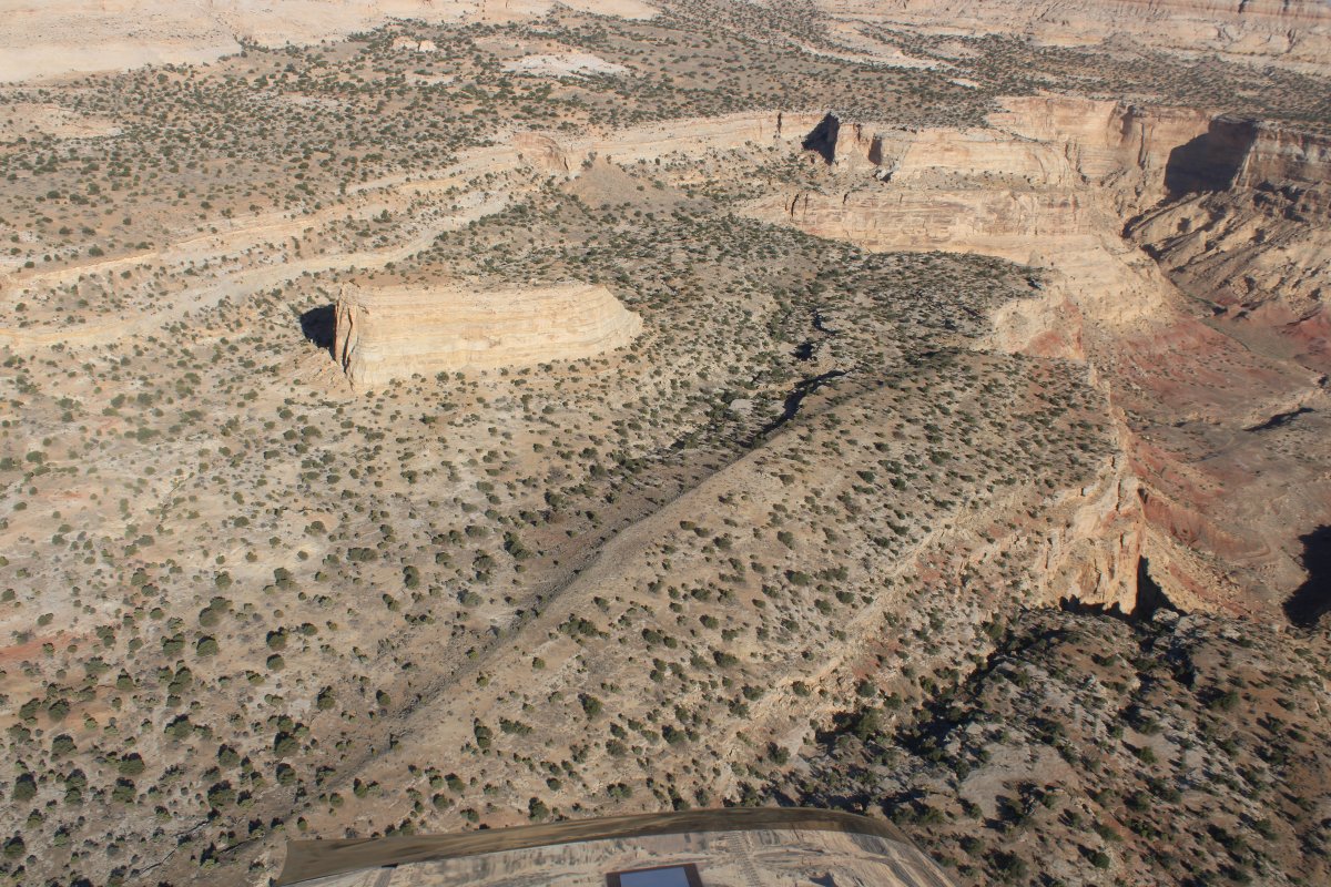
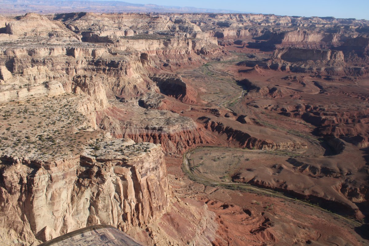
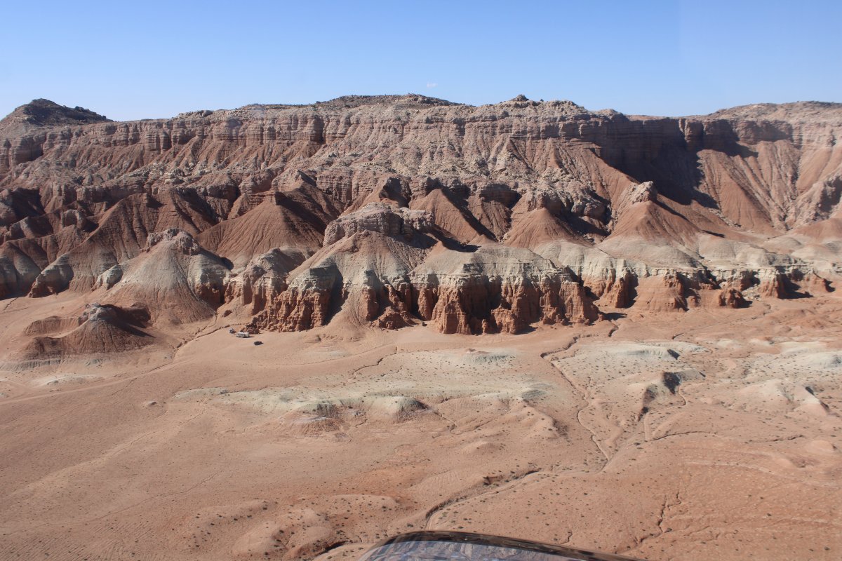
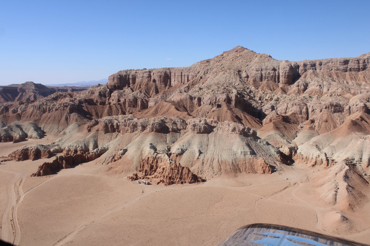
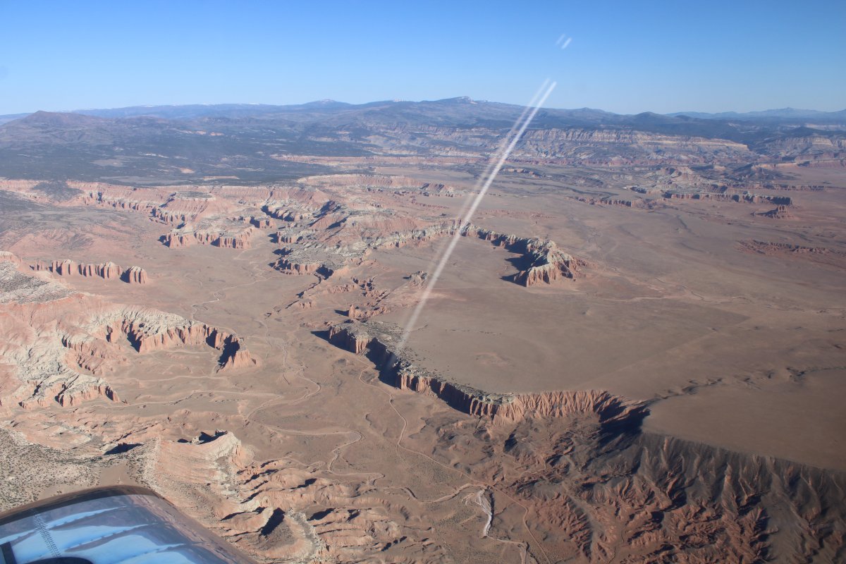
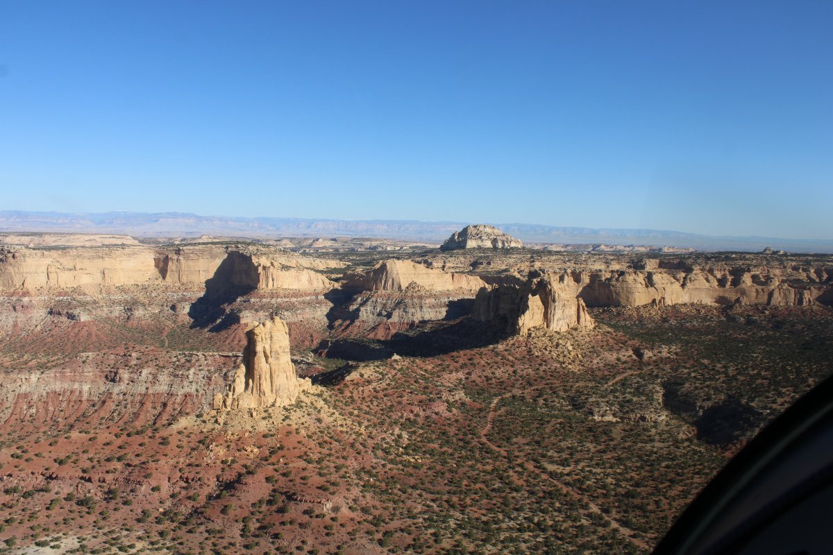
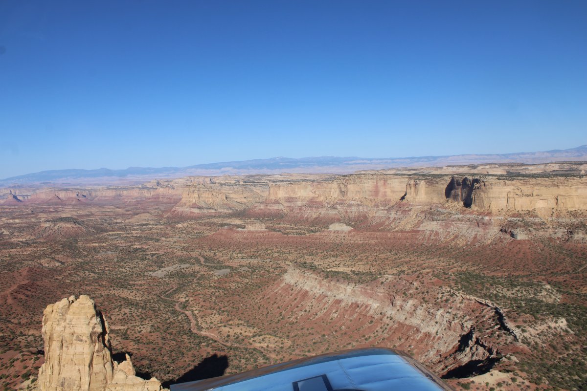
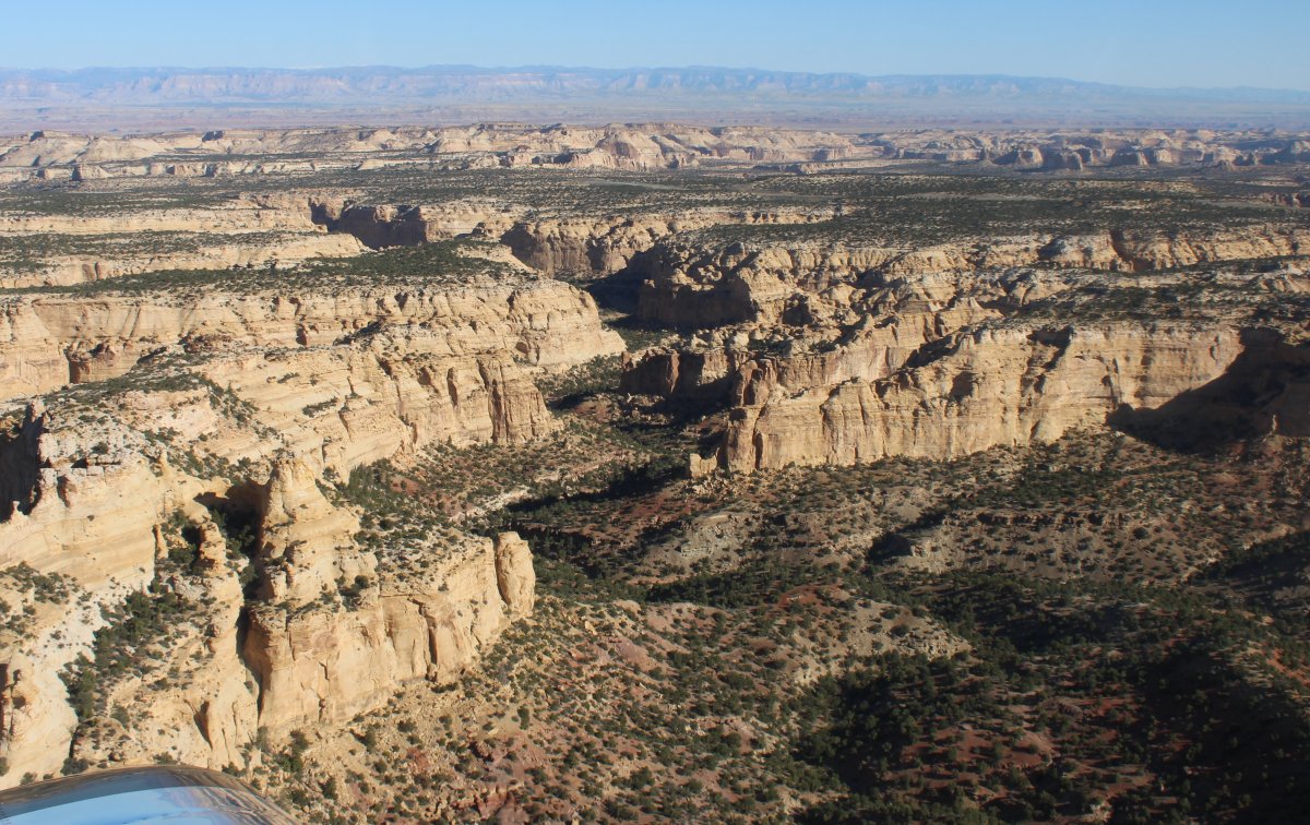
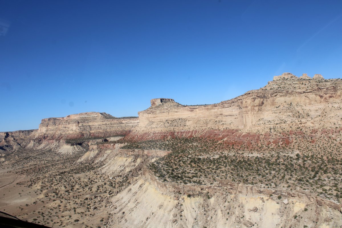
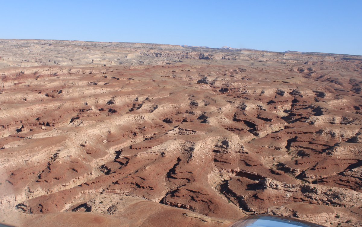
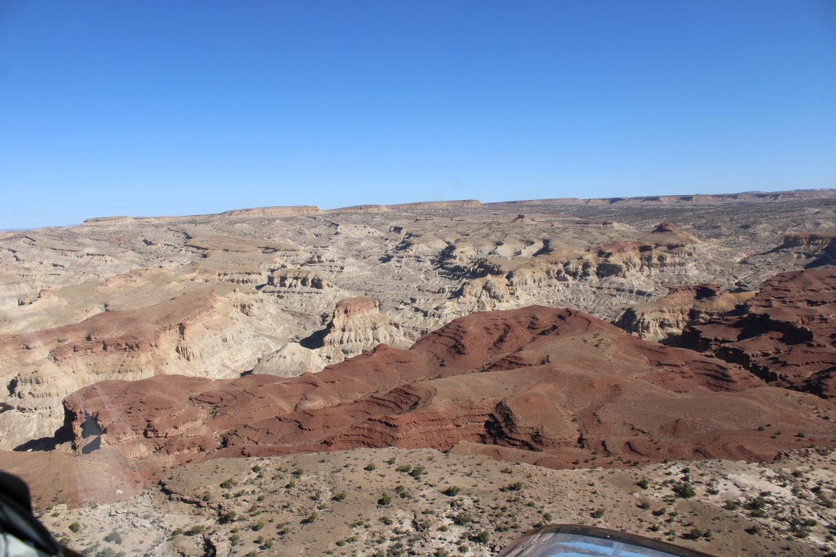
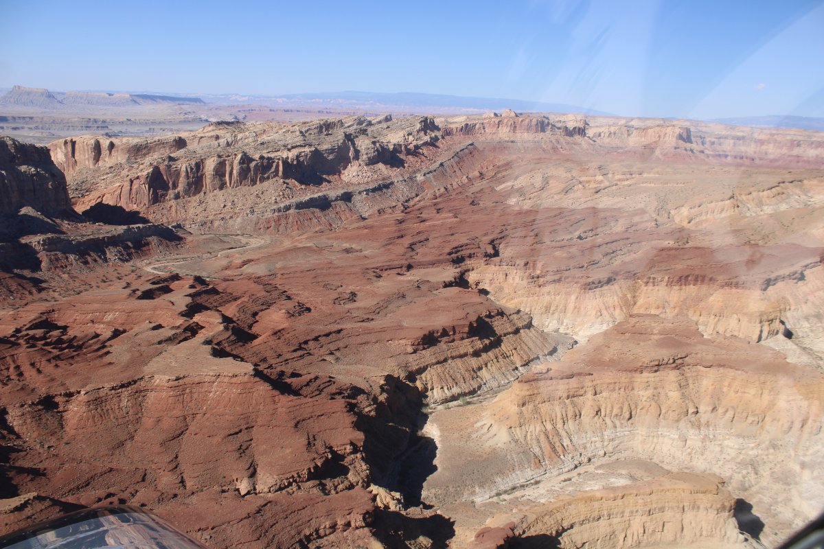
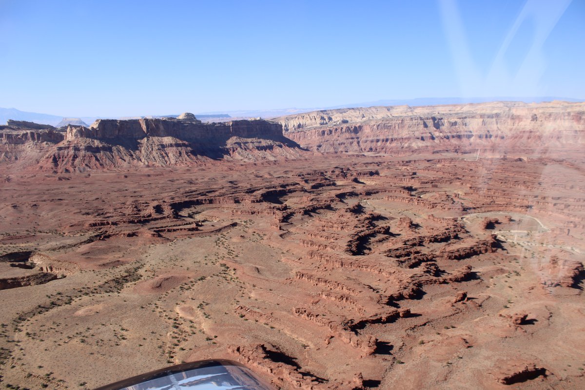
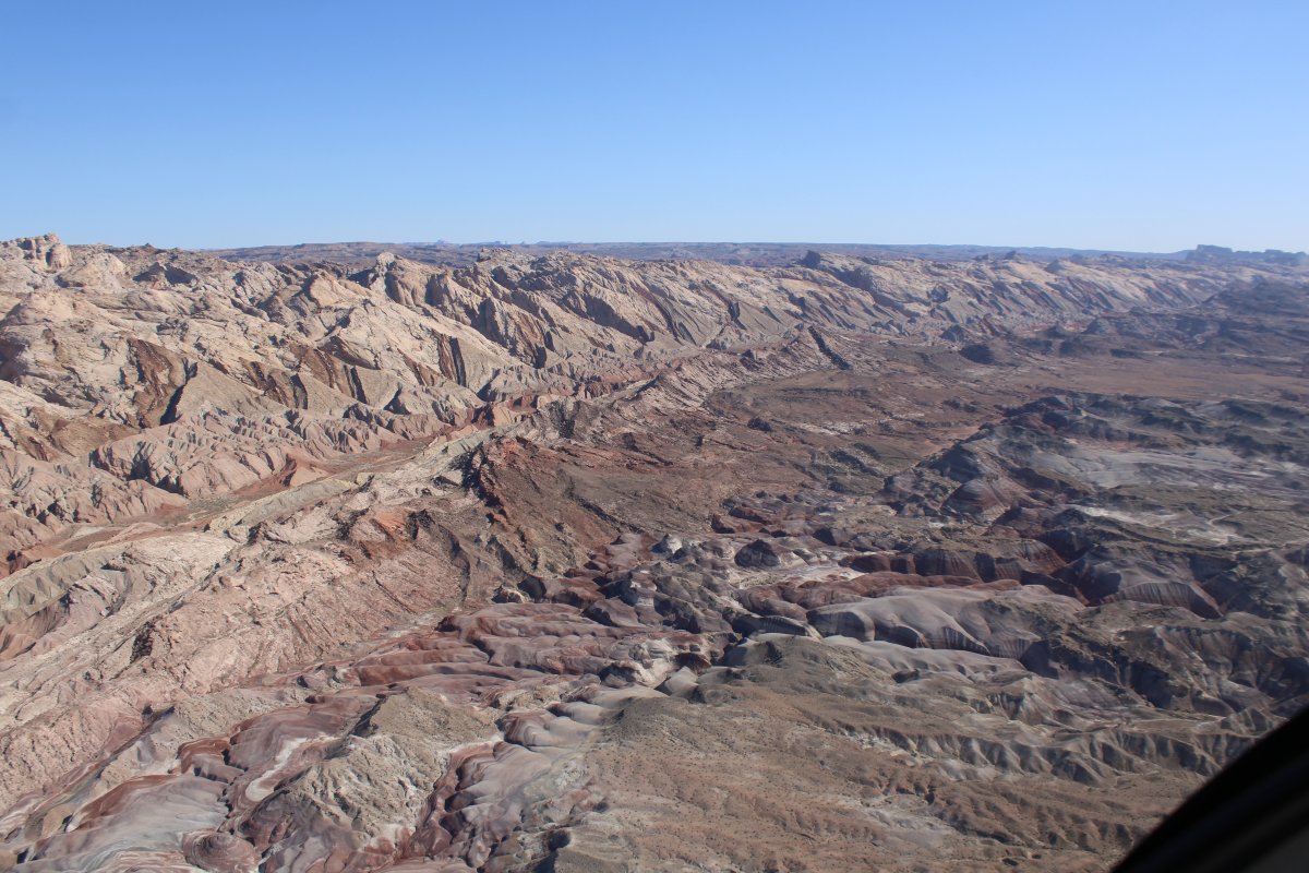
 I'm just flying around, enjoying the magnificent views.


A dirt road leads to a trailhead.


I had been steadily working my way north.  Then suddenly there was Interstate 70.
   
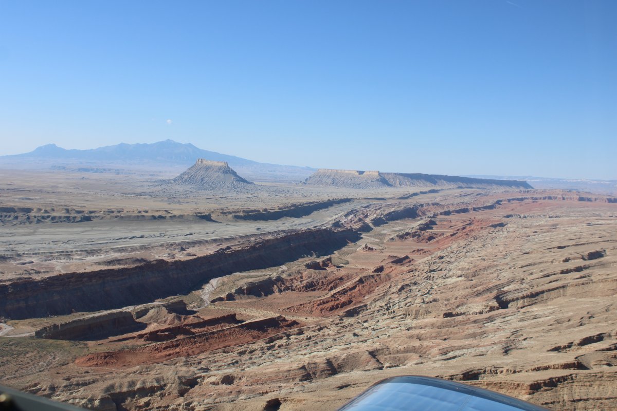
I headed east for awhile.


Following a wide canyon west now, with the sun behind me.


A rock stake in the canyon bed.


To tell you the truth, this area is so large, with so many scenic but un-named spots, it is hard to say where I was.
   
The San Rafael Knob (I think).


The Muddy Creek?


A rare site -- vehicles and people.


Now I'm heading south, on the west side of the San Rafael Reef.
   
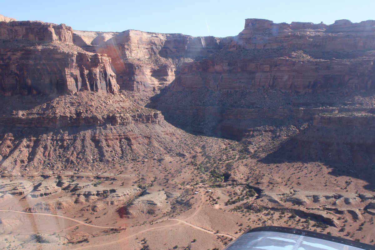
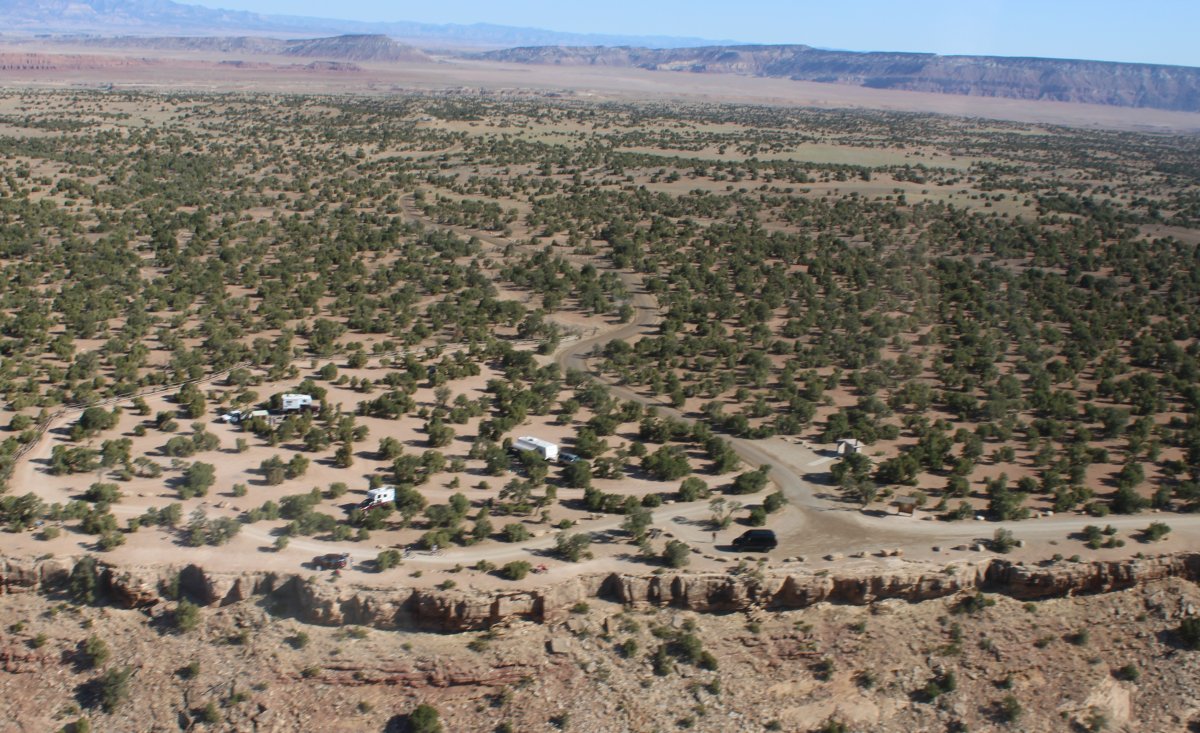
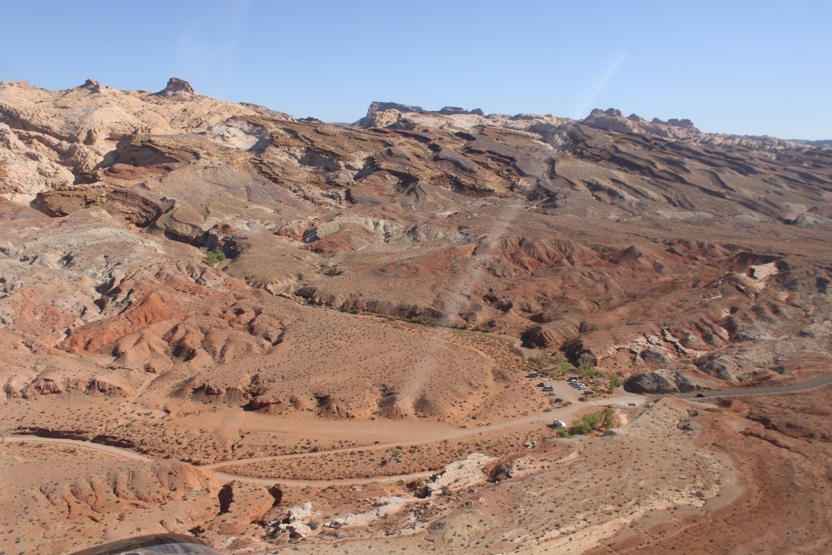
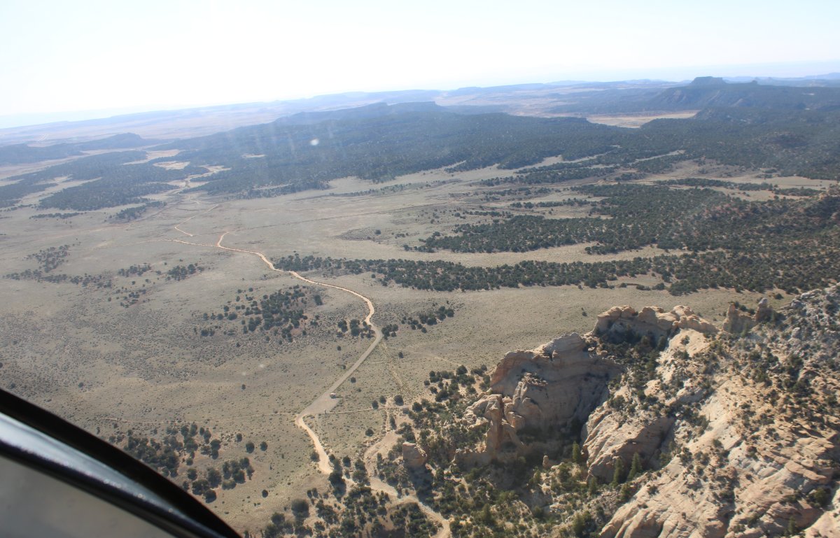
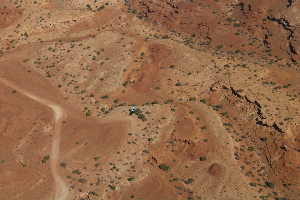
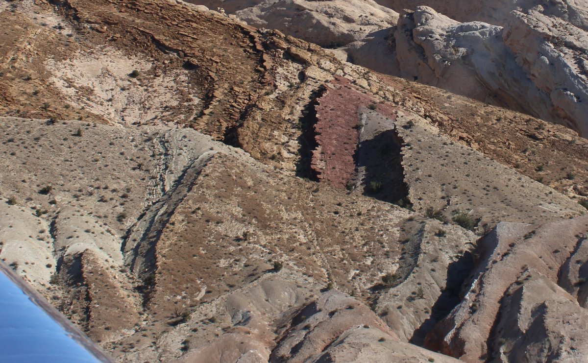
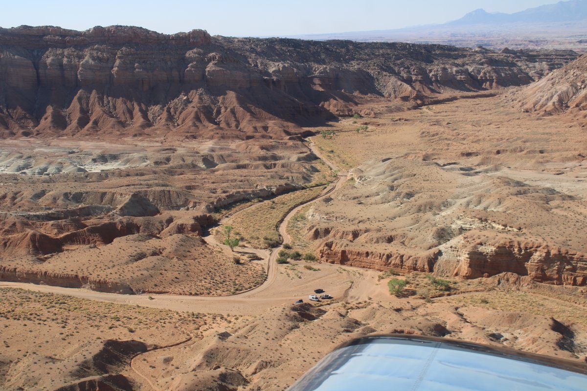
A camper in a very remote area.


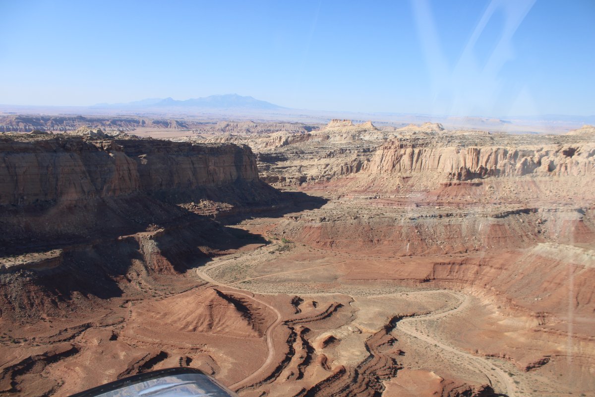
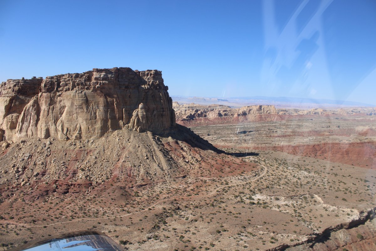
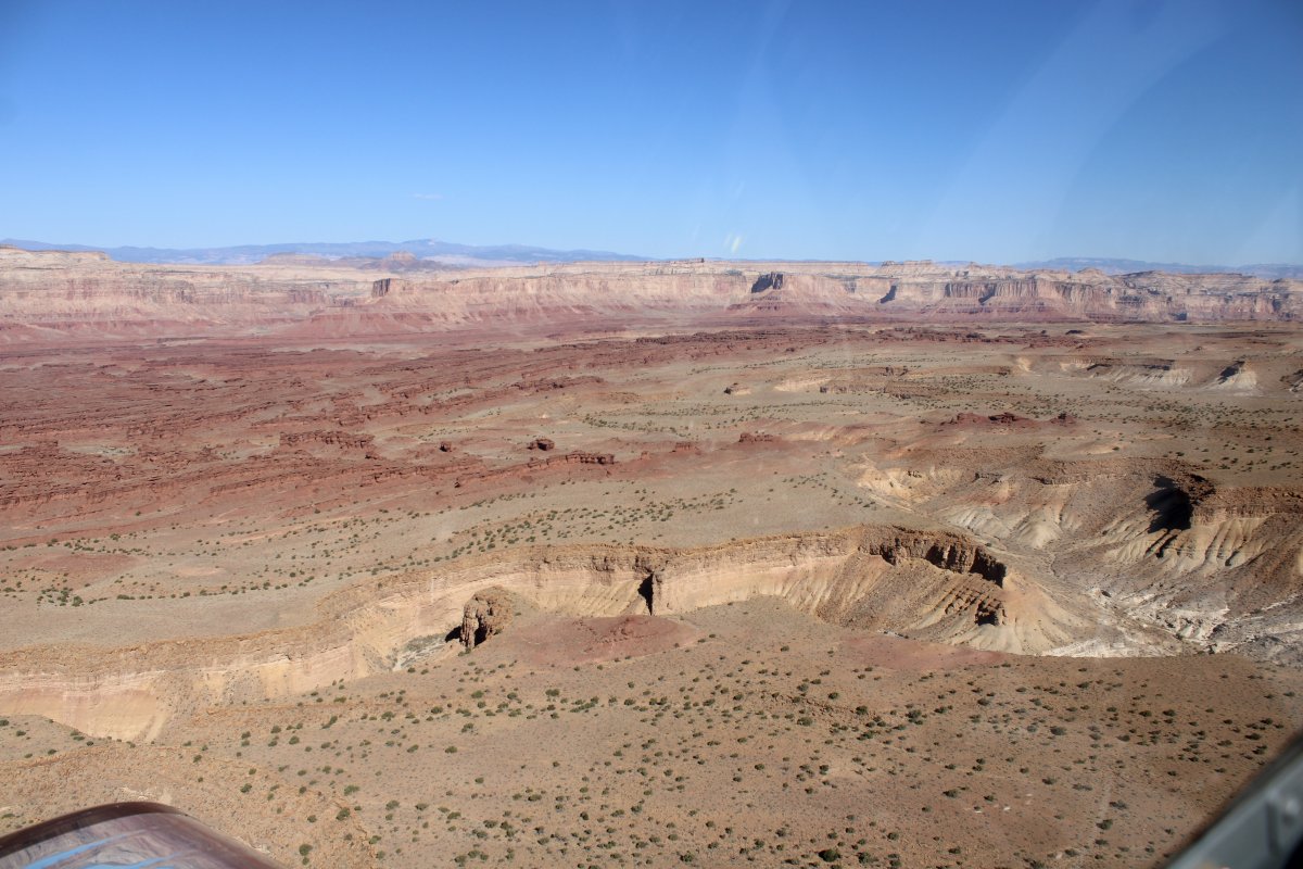
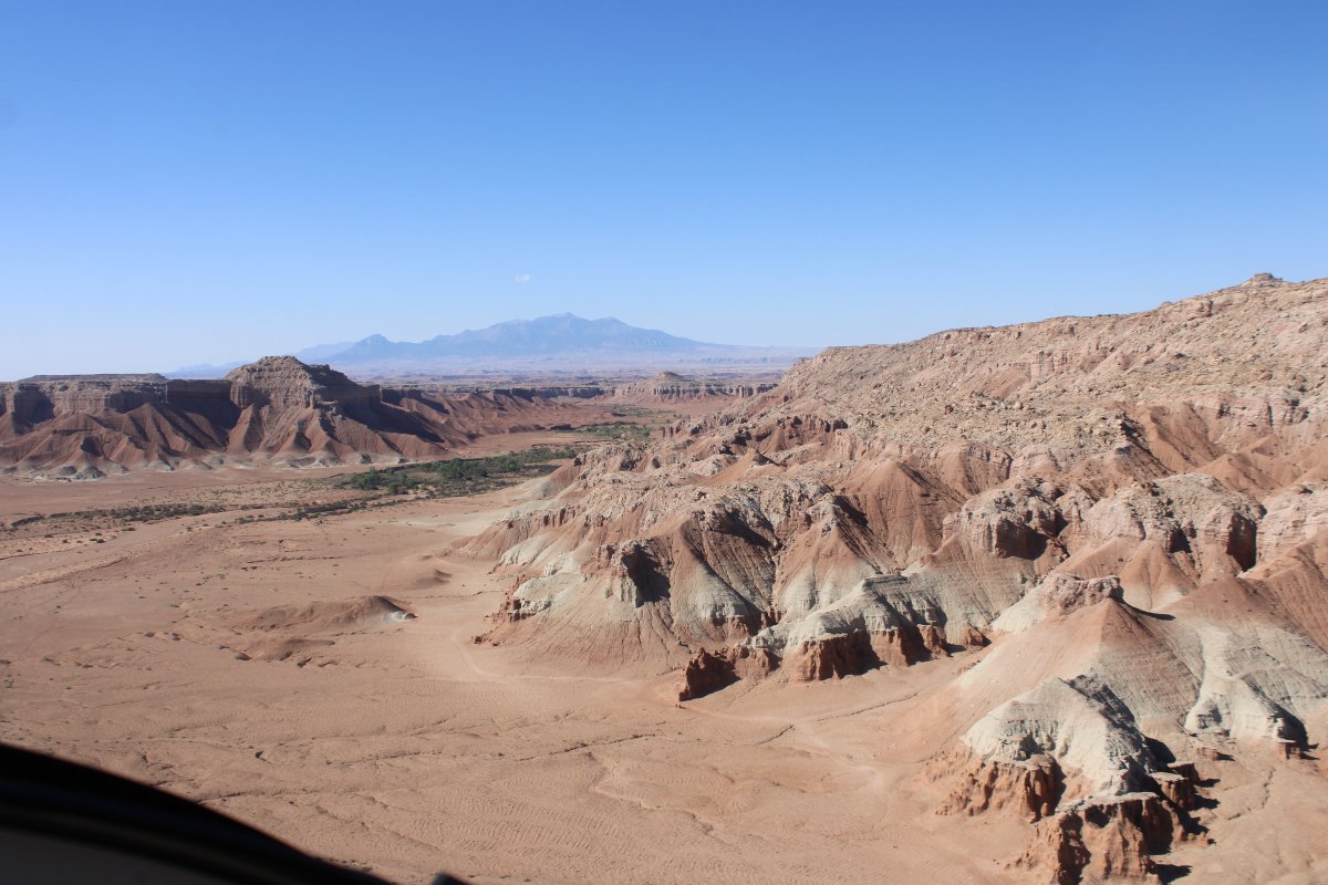
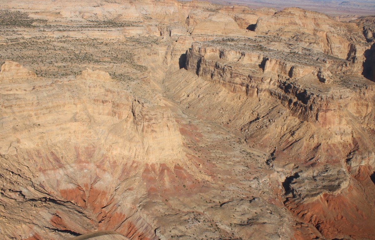
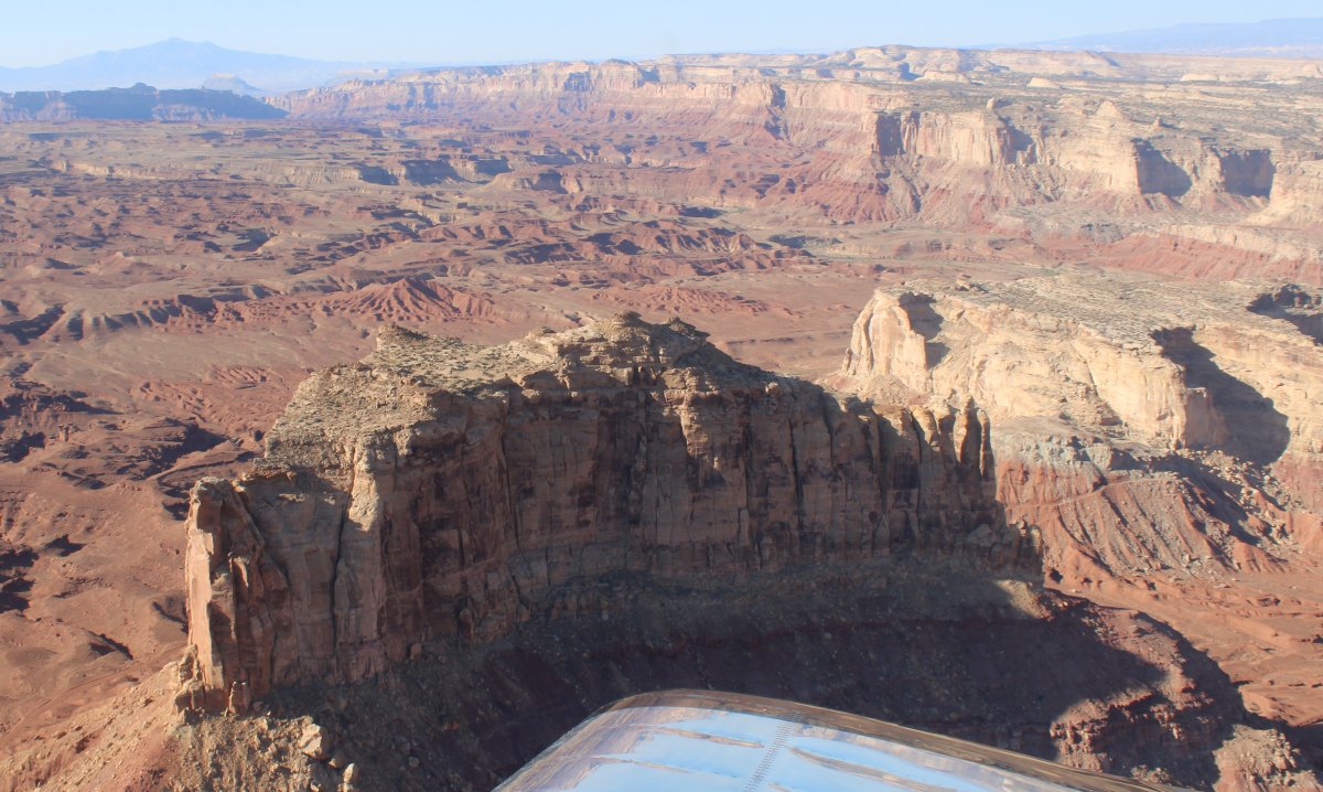
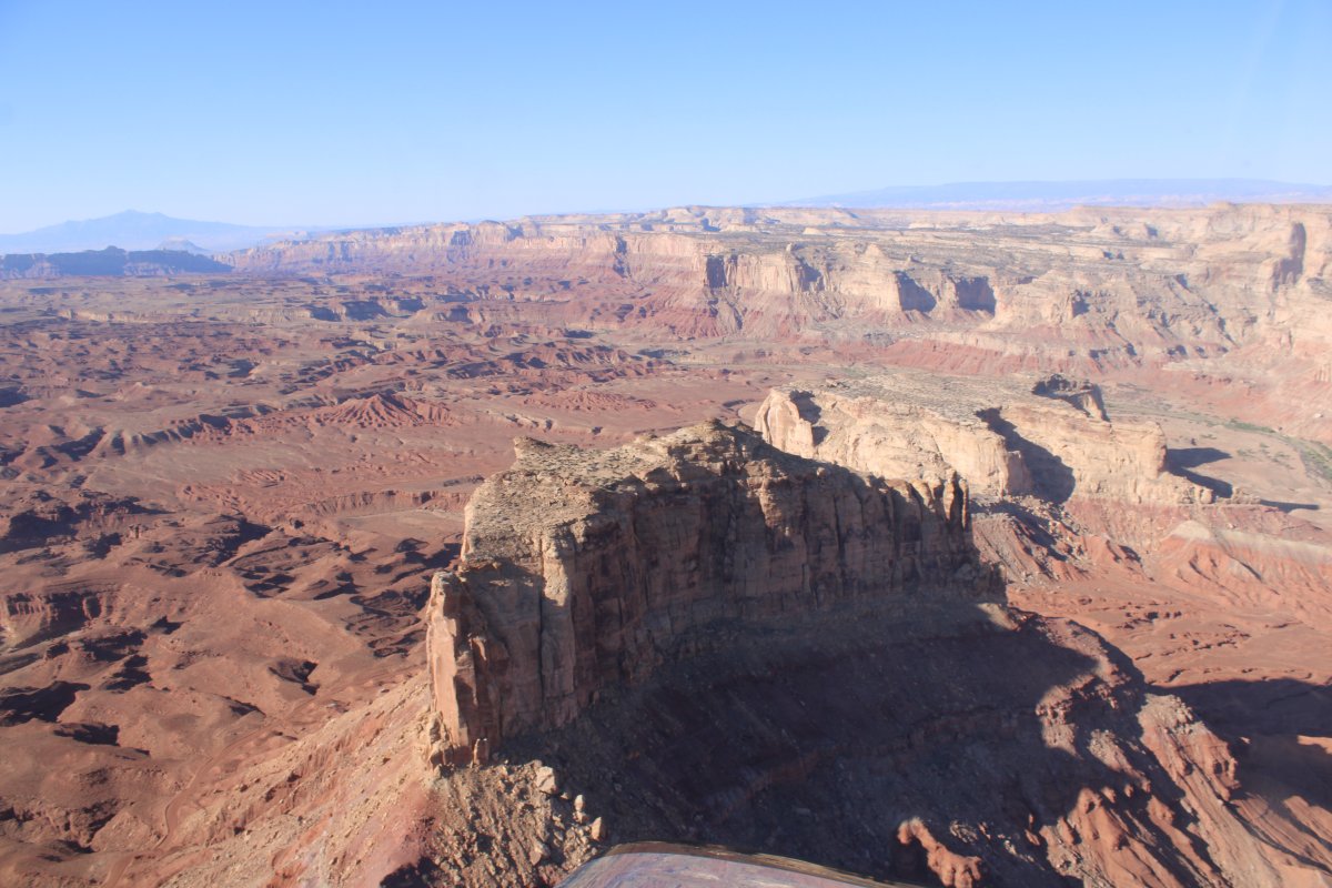
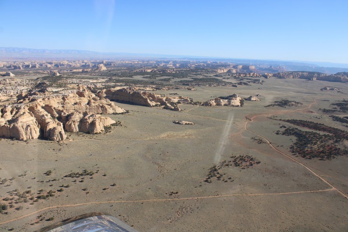
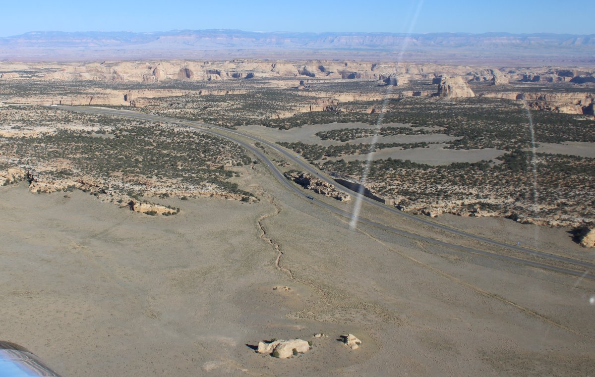
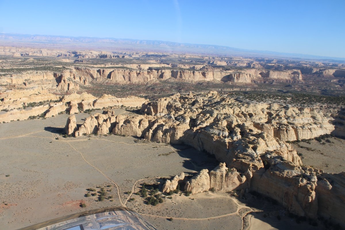
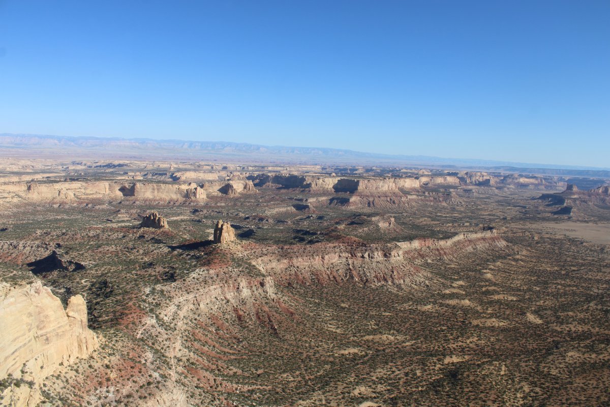
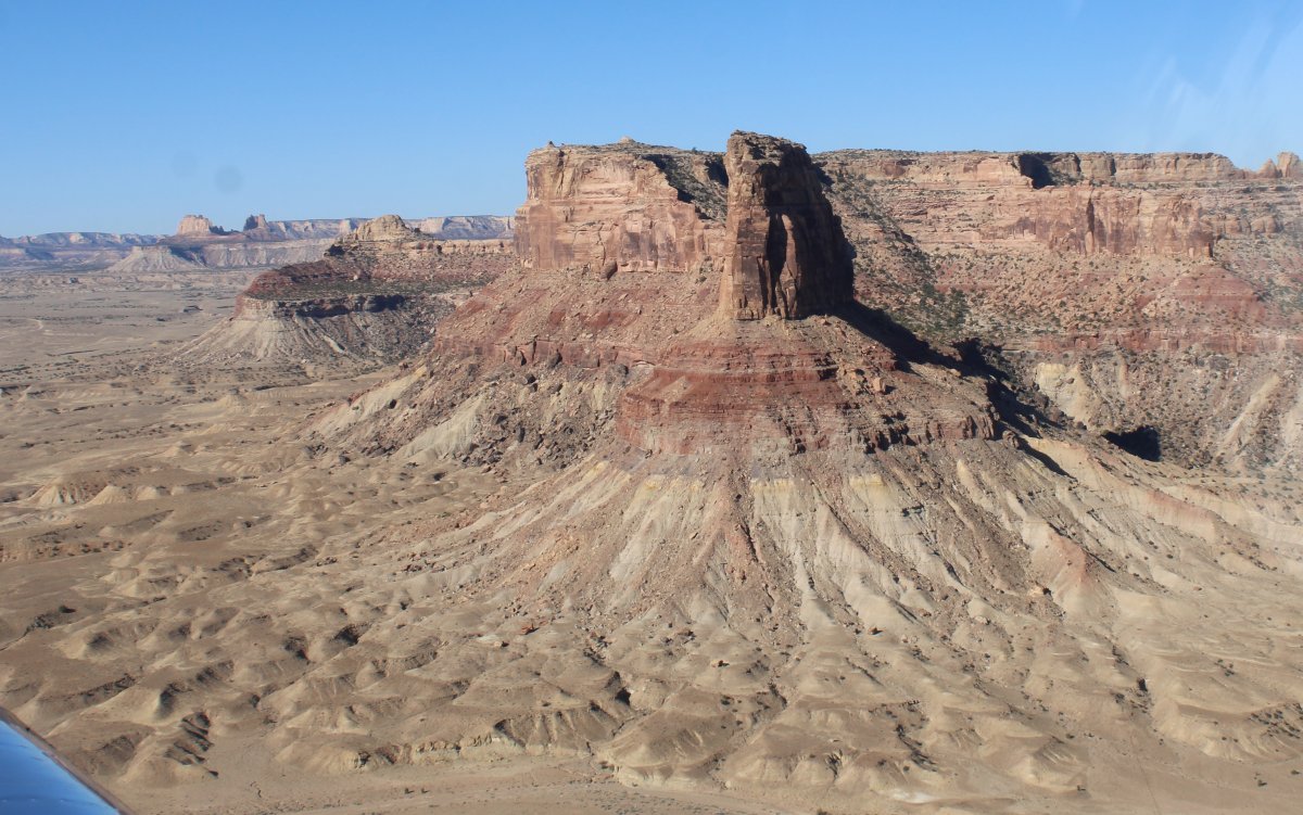
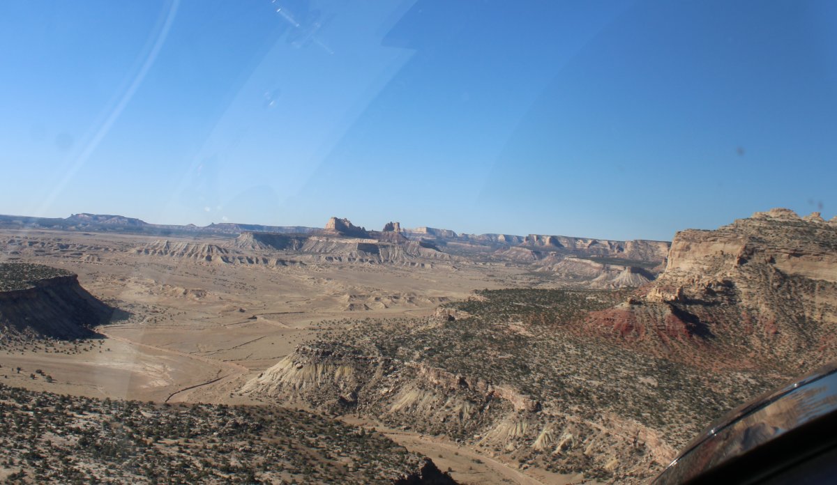
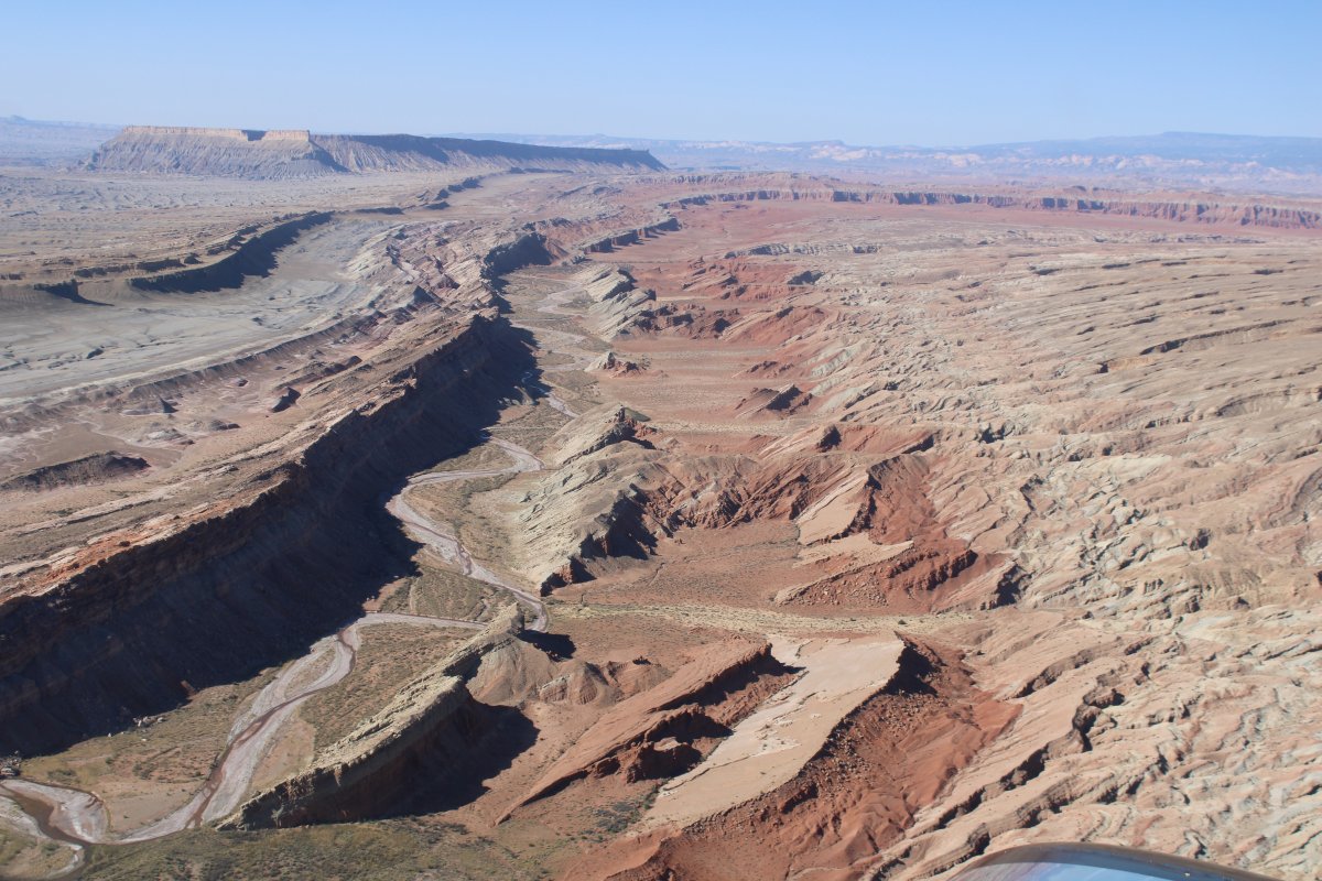
At the southwest end of the San Rafael Reef, which runs southwest-northeast.
   
It''s interesting how the reef slants to the southeast.
   
But as I get lower, it looks completely different.


Passing by another trailhead.
   
And another.


Previous
Home
Next